Route at a Glance
- Date: March 8th, 2025
- Location: Palm Desert, CA
- Dogs: Not allowed
- Trailhead Parking: Hwy 74 Art Smith Trailhead | Trailhead Lot: 33.67158, -116.40947 | Main Lot a Little Past Trailhead: 33.66802, -116.40794
- Trailhead Amenities: None
- Difficulty: Strenuous (distance) | Moderate (climbing)
- Route Type: Out and Back
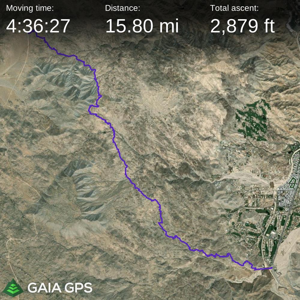
- Distance: 15.8 miles round trip
- Elevation Gain: 2,877 feet
- Best Time to Hike: October – May
- Wilderness Permit Required: No
- Trail Signage: Well Marked
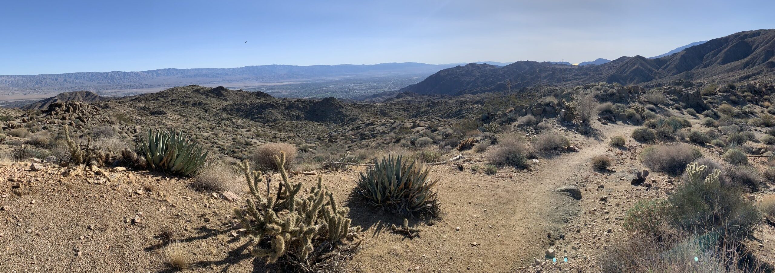
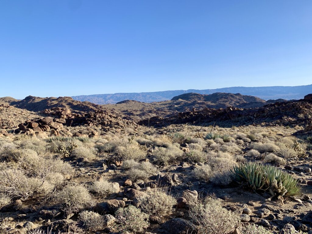
The Art Smith Trail, located in the Santa Rosa and San Jacinto Mountains National Monument, is one of the monument’s signature trails and is local favorite and a must for visitors. The trail offers sweeping views of the Coachella Valley below and the surrounding local mountains, as well as the San Jacinto and San Gorgonio mountains. You’ll wander through the desert landscape of cactus, shrubs, towering rock boulders, and multiple palm oases. This trail can provide solitude and the further on the trail you venture, the less people you will see.
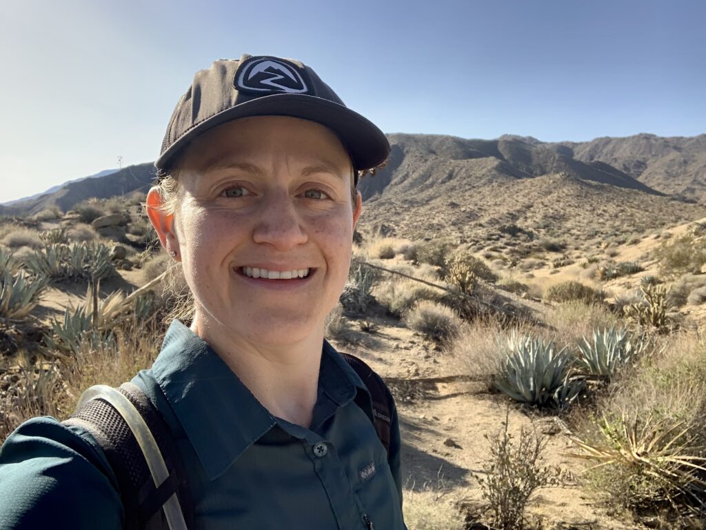
This is a desert hike and you are exposed the entire length of the trail so sun protection is of utmost importance. Climbing along this route is moderate with short-lived ascents and descents that are not very steep so I have never found the need to use my trekking poles. The strenuous part of this hike is the distance. This is a great endurance hike and I regularly do it to get my legs used to long days before any backpacking trips or thru-hikes.
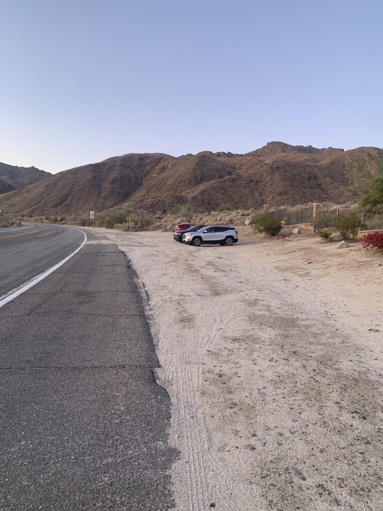
There are two areas available for parking. The first is right off hwy74 at the trailhead and is more or less the unofficial parking area. I went today on a Saturday and arrived at 6:00am and I was the third car to park. When I finished my hike around 10:30am, all the spots were taken so I recommend getting to the trailhead by 7am if you want to call dibs on a spot right at the trailhead.
Parking Lot at 6:00am
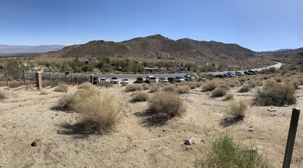
Parking Lot at 10:30am
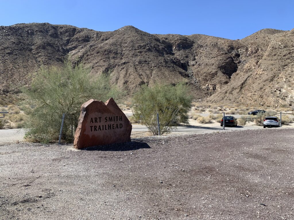
The second area to park (pictured below) is the official trail parking lot and is a short distance past the trailhead. This parking lot is clearly marked and is very large. It is shared with other outdoor enthusiasts, such as mountain and road bikers. The trail marker is at the far end of the parking lot and once you pass it, you’ll follow the stone berm until you see the initial zig-zag climb where you will begin the hike.

What to expect
- Views: Spectacular panoramic views of the Coachella Valley including surrounding local mountains and the San Jacinto and San Gorgonio mountains | Towering boulders, desert shrubs, and cactus line the trail
- Exposure: No shade for entire trail | This is a desert hike so wear sun protection on your skin, a hat, and sun protective clothing
- Weather: Check the weather forecast here | DO NOT hike this trail during the summer months of June – August as temperatures can peak at 120 degrees Fahrenheit
- Parking: Get to the trailhead by 7am if you want a spot at the trailhead as it fills up quickly, especially on weekends | One lot immediately at the trailhead and main lot a little past official trailhead (lots of parking)
- Crowds: This trail gets very busy mid-mornings so plan on an early start to beat the crowds | After the first oasis you’ll find more solitude
- Camping: No camping at the trailhead or on the trail
- Water Resources: Plan to bring all the water you will need as there is no water at the trailhead or on the trail
At the beginning of the hike, you’ll be met with your initial climb. After that it is a combination of ups and downs interspersed with periods of flat walking. After the climb, you’ll be met with a few unofficial junctions, as well as the only real trail junction with the Hopalong Cassidy trail. Don’t fret though! The trail is very well marked and for ease of navigation, you can download my gpx file below, which contains all my waypoints and photos including all the junctions I passed through. During this portion of the hike, you’ll be met with beautiful views of Palm Desert.
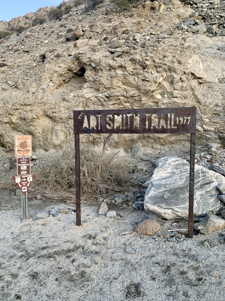
This sign marks the start of the trail and the beginning of the first climb
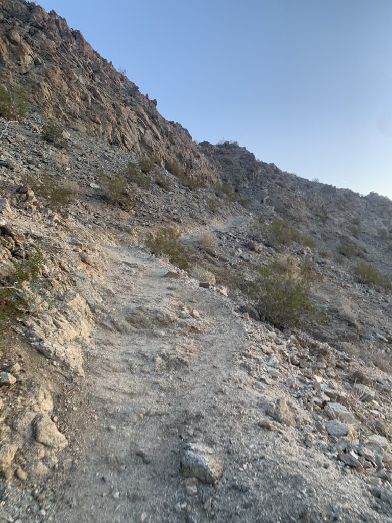
Here’s an idea of the steepness of the initial short climb
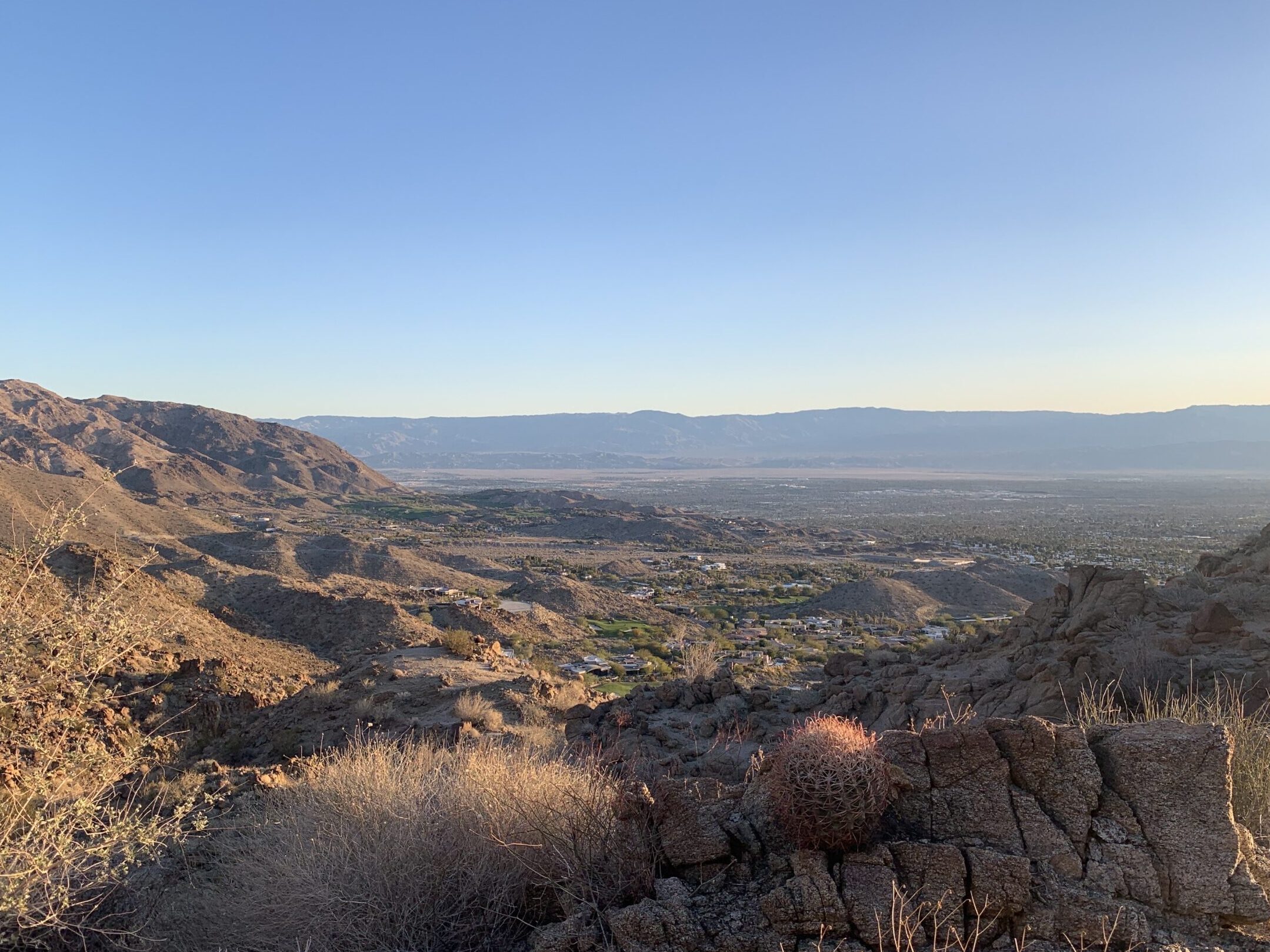
Golden early morning views of Palm Desert below the Art Smith Trail
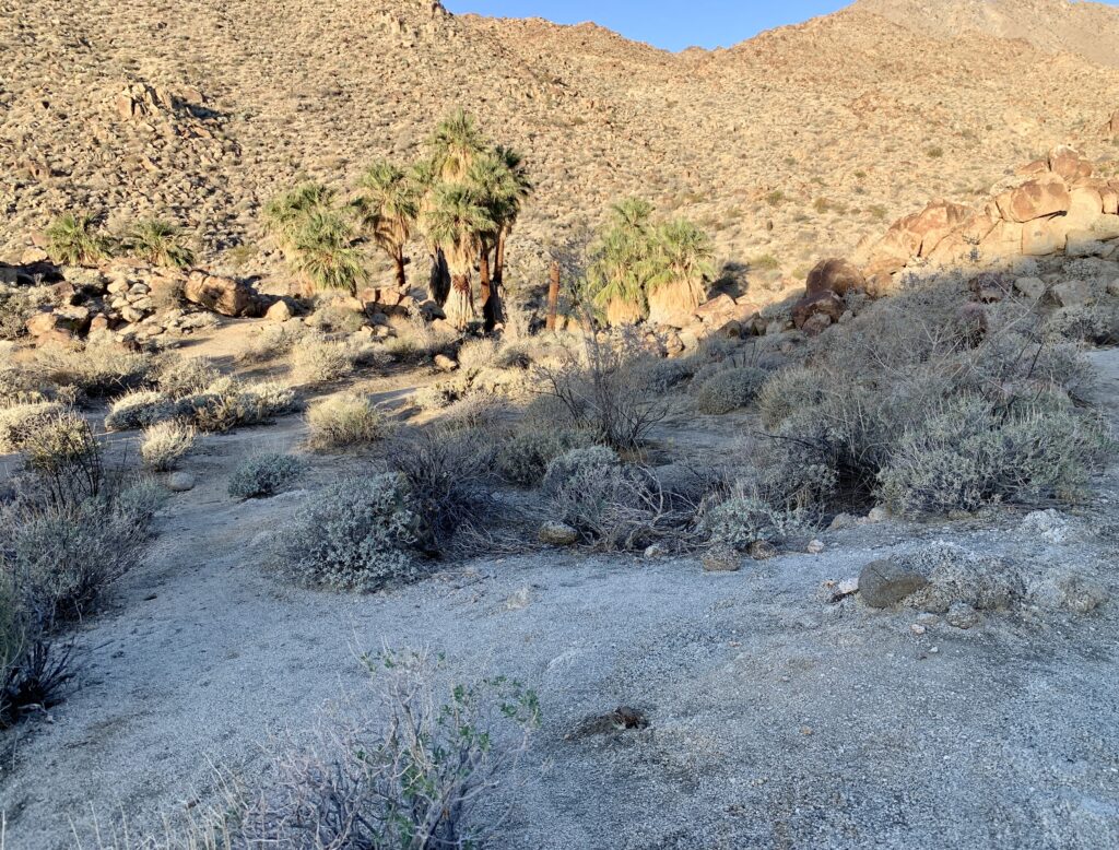
Say goodbye to these views as the trail meanders deep into the hills and away from civilization. At around mile 4.5 you’ll reach the first oasis. This is a common turnaround point for most hikers so traveling beyond this point will provide much solitude.
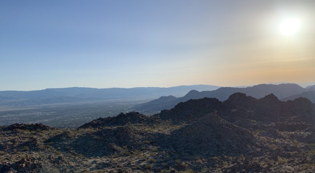
From here the terrain will more or less level out providing views of the surrounding mountains and the civilization you left behind.
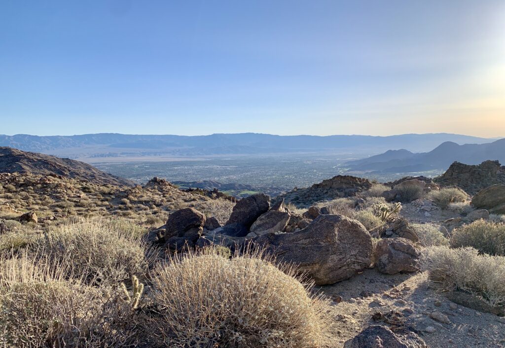

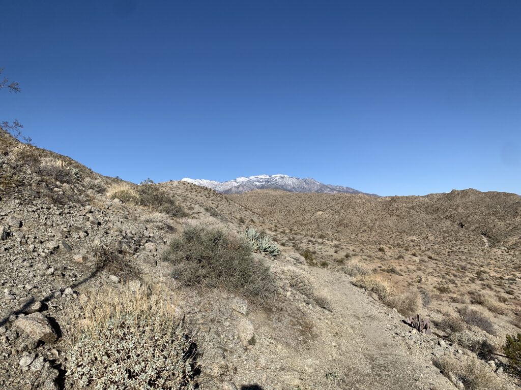
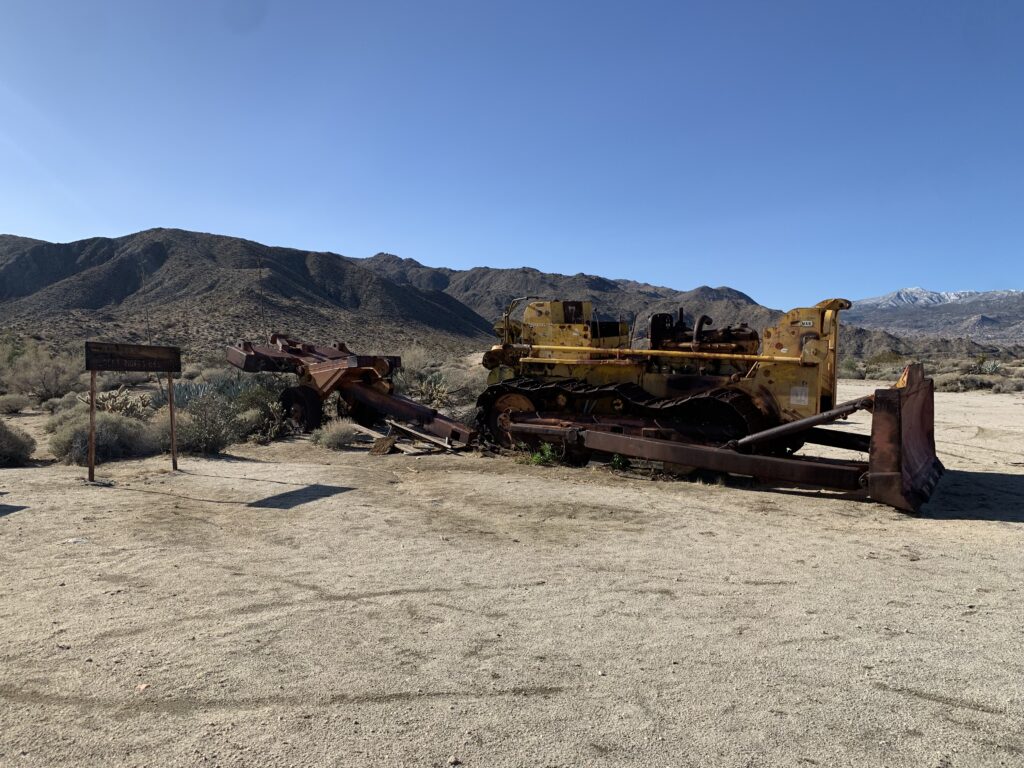
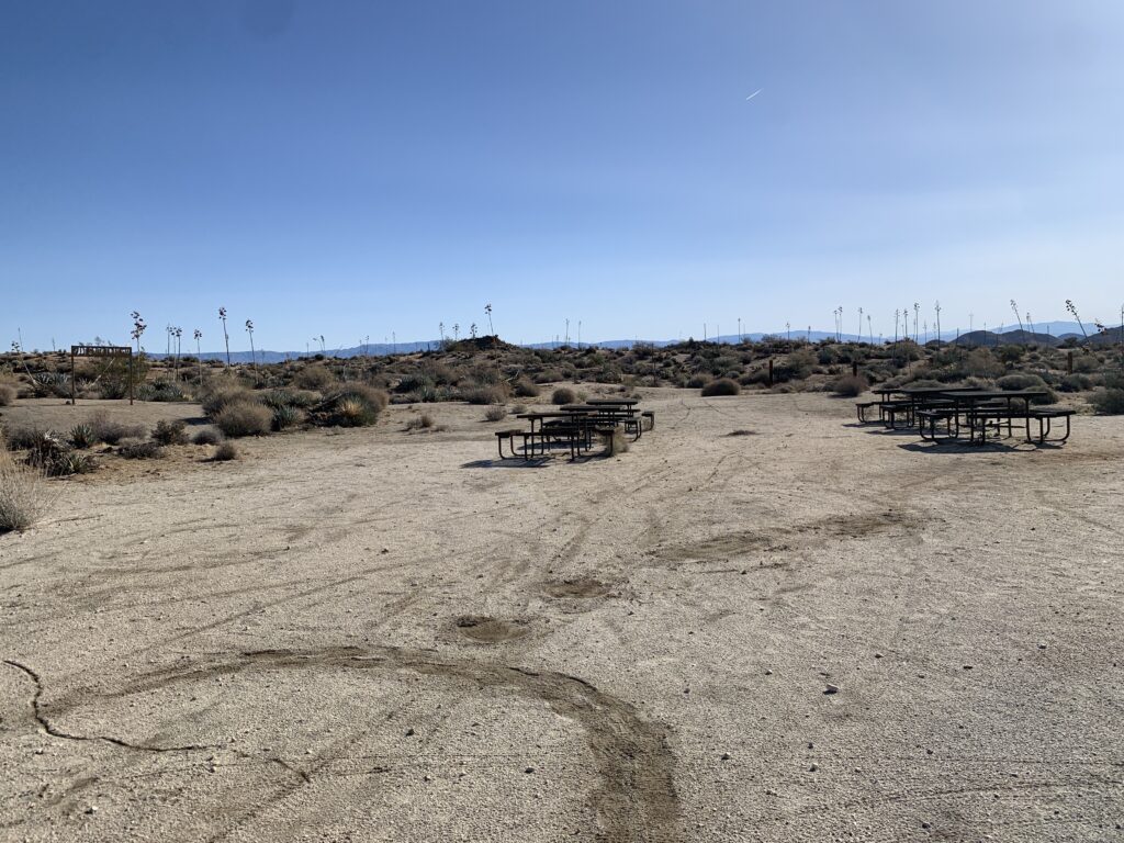
At around mile 6 is when you will begin your descent to the wash before making your final climb to the Art Smith Trailhead at Dunn Road. At the top of the climb the San Jacinto and San Gorgonio mountains will come into view. I was lucky enough to see them snow capped! The Art Smith Trail ends around mile 8 or so and here you will find numerous picnic tables and a tractor right off Dunn Road. This is a great place to stop and take a break, have some water and a snack, and prepare to hike back out the way you came! Regarding the tractor…it is a remnant of Mike Dunn’s effort to carve out what we know of as “Dunn Road” in hopes of connecting Palm Springs to Hwy74. He was met with litigation and the work ceased. He essentially just left his heavy equipment behind.
For a full list of what gear I personally use and recommend click here!