
Route at a Glance
- Date: May 2nd, 2025
- Trailhead Parking: Vivian Creek Trailhead | 34.0819336, -116.8909357
- Trailhead Amenities: Restrooms | Picnic Tables & Grills
- Trail Signage: Yes | Adequate
- Parking Permit Required: Yes | Adventure Passes (Day Pass ($5) or Annual Pass ($30))
- Can purchase at sporting goods stores like REI or Big 5
- Available at the Mill Creek Ranger Station
- Best Time to Hike: May through September
- Difficulty: Strenuous
- Route Type: Out and Back
- Distance: ~17 miles round trip with no snow | shorter with snow due to cutting switchbacks (Today I tracked 15.5 miles with avoiding snow)
- Elevation Gain: 5,280 feet
- Wilderness Permit Required: Yes | Available only online from the San Gorgonio Wilderness Association
- Dogs: Leashed
- Camping: Yes | 3 designated wilderness sites available | Free reservations can only be made online here
- Visit here for additional Information from the USFS
The Vivian Creek Trail is the shortest and steepest route to the summit of Mt. San Gorgonio (11, 503′), located in the San Gorgonio Wilderness Area within the San Bernardino National Forest next to the community Forest Falls. This hike can be done as a day hike or broken up as a backpacking trip as there are three wilderness camping sites along the way to the peak. This trail can be treacherous in the winter and requires mountaineering skills and experience. The 2020 Apple Fire ran through an upper portion of the trail around mile 6.5, so be cautious of standing dead trees and any hazards along the trail.
What to expect
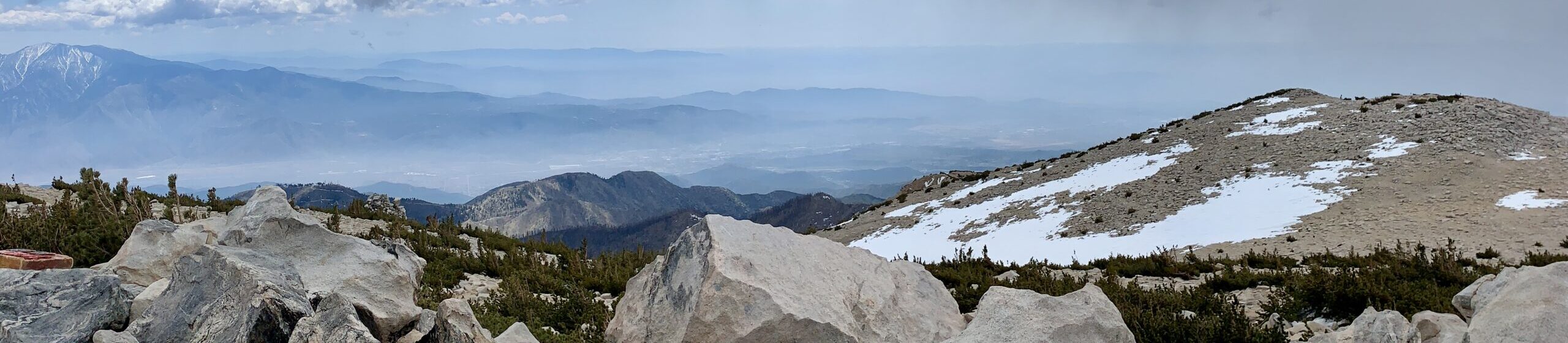
- Views: Incredible views of neighboring Mount San Jacinto and Big Bear as well as sweeping panoramic views in all directions.
- Weather: Check the peak forecast here
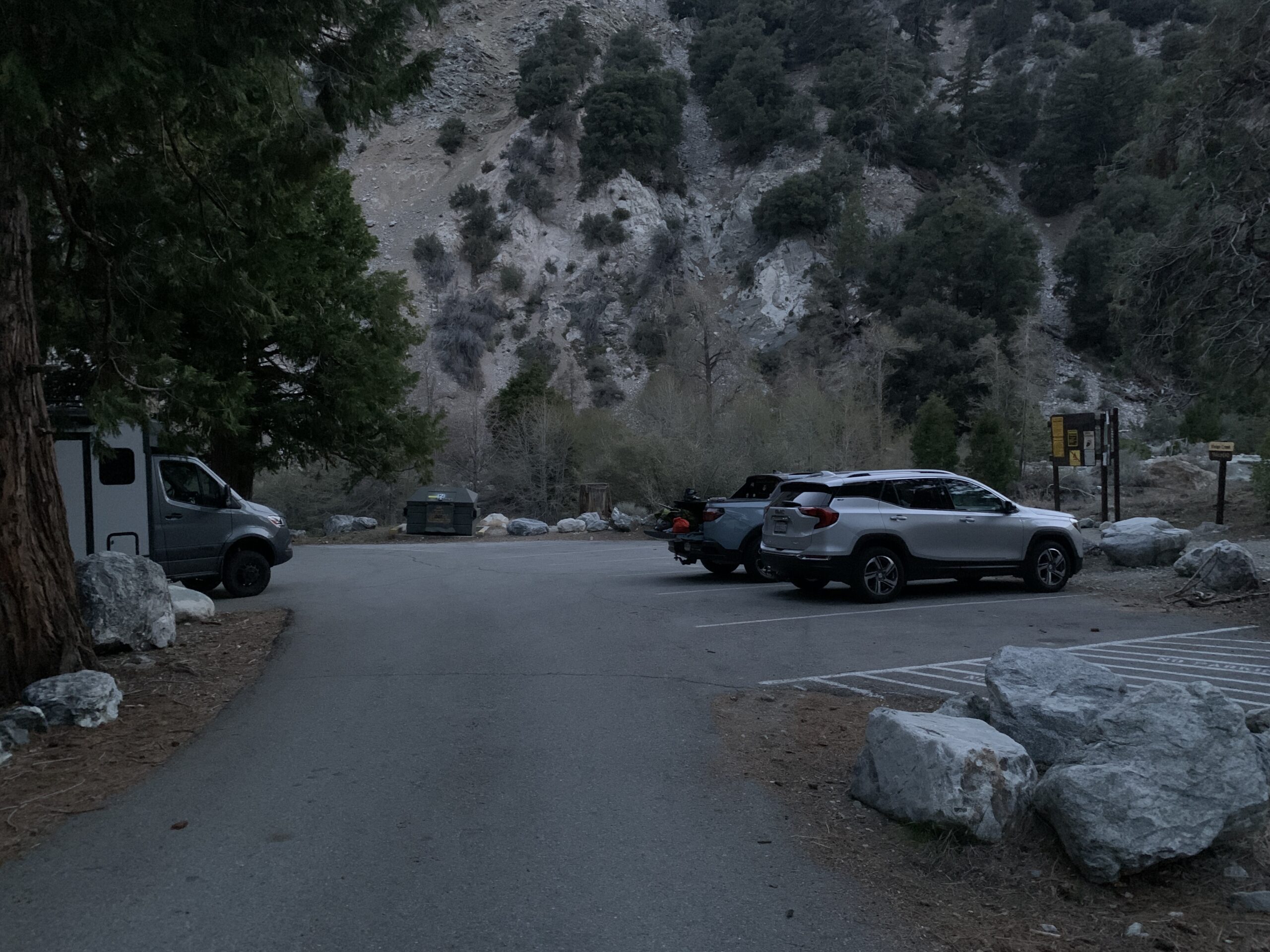
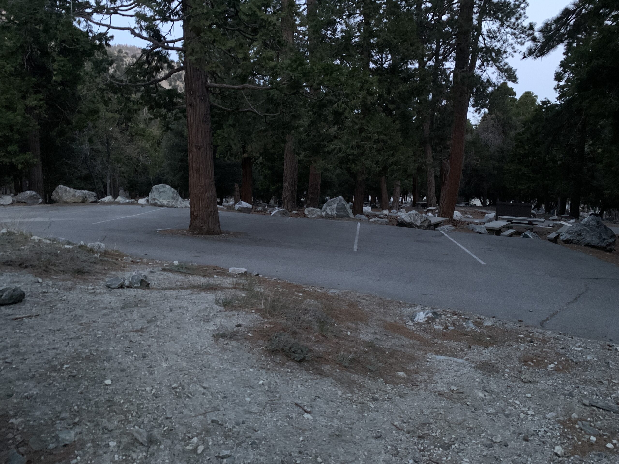
- Parking: The parking lot immediately next to the trailhead is small but there is a ton of overflow parking since the trailhead is adjacent to a large day-use area. Parking is never really an issue. Be sure to have your parking permit to avoid getting a citation.
- Crowds: This trail does see an increase in numbers on weekends, but you can usually always get a parking space | This is the hardest way to ascend to the peak, which deters a lot of visitors.
- Camping: There are three designated wilderness campsites on this trail: Vivian Creek Camp at 7,100′ (no camping within 200 feet of the trail or creek), Halfway Camp at 8,100′ (water is obtained from the creek 200 yards before camp), and High Creek Camp at 9,200′ (water flows the best in this creek right below the camp). I have only ever camped at High Creek Camp. There are only a couple spots and it is a popular campsite for those wanting to push the last 3 or so miles to the summit on another day. Water at High Creek Camp is very reliable. You can also camp on the summit, though I don’t recommend it. There are wind barriers, but overall you are very exposed to any sudden changes in weather. Reservations are free and may only be made online here
- Water Resources: There is plenty of water on this trail. I usually bring 2 liters and my Sawyer Mini water filter and I find that always meets my needs. You’ll have access to water from Vivian Creek after the initial climb at 1.4 miles in. Around mile 3 you will reach Halfway Camp, which will provide water access. The last chance for water is from High Creek at High Creek Camp, which is around mile 5.5.
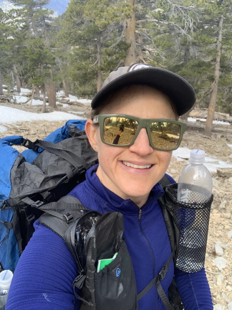
The parking lot immediately next to the trailhead is small, but there is additional overflow parking on the other side of the restroom. There is plenty of parking and the parking area is close enough to the trailhead that it doesn’t cause any time delays. This area is also a designated day-use area so there are multiple picnic tables and grills that can be utilized. Since this is a challenging hike, I always opt to start at 5:00am. I always try to pick a time to start where I am confident that I have enough time to finish the hike should any unexpected delays arrive. I made this decision based on my hiking pace and ability. Trail reviews I read stated there was quite a bit of snow still so I opted to wear my mountaineering boots and bring along my microspikes, crampons, helmet, and ice axe.
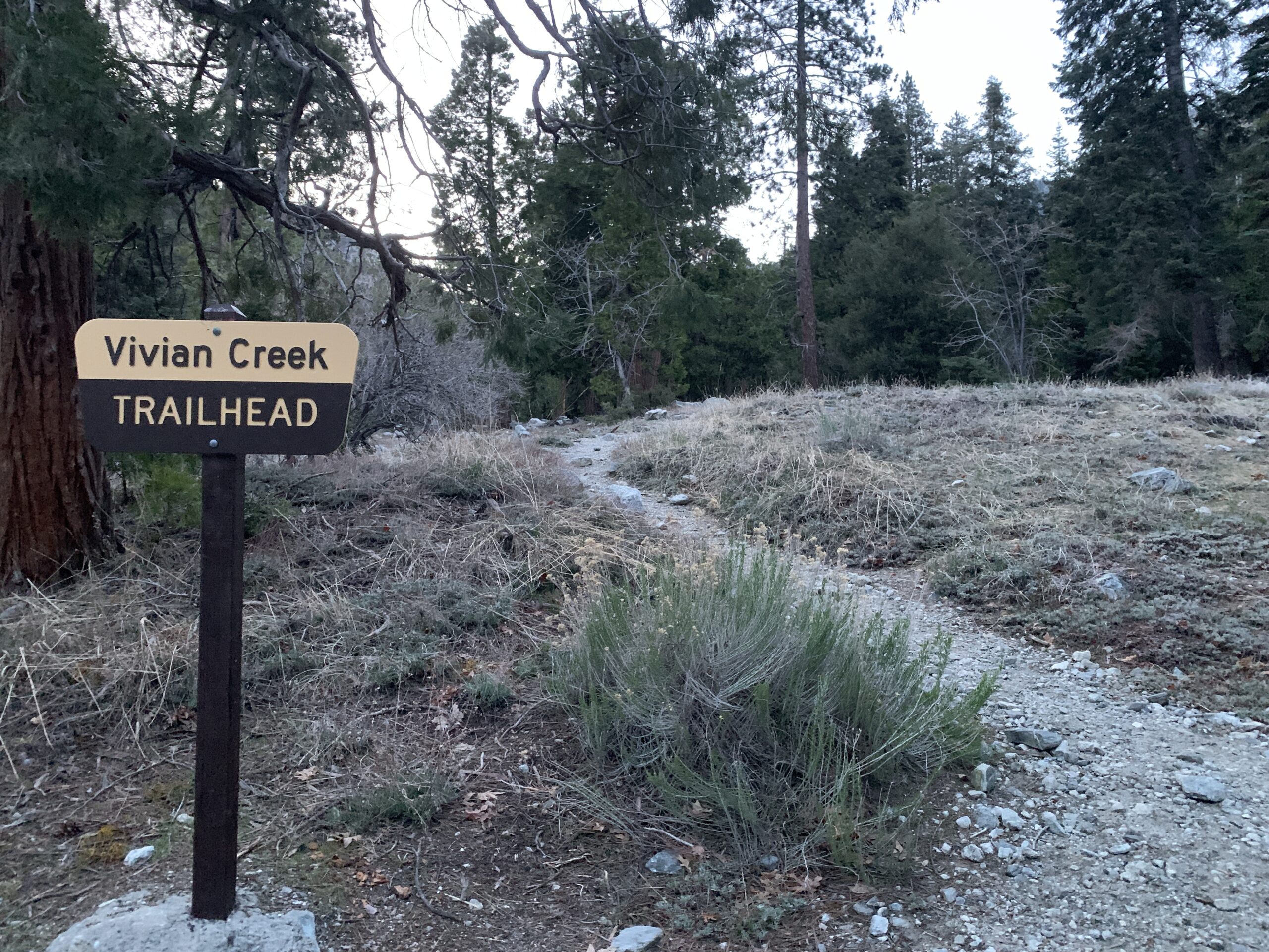
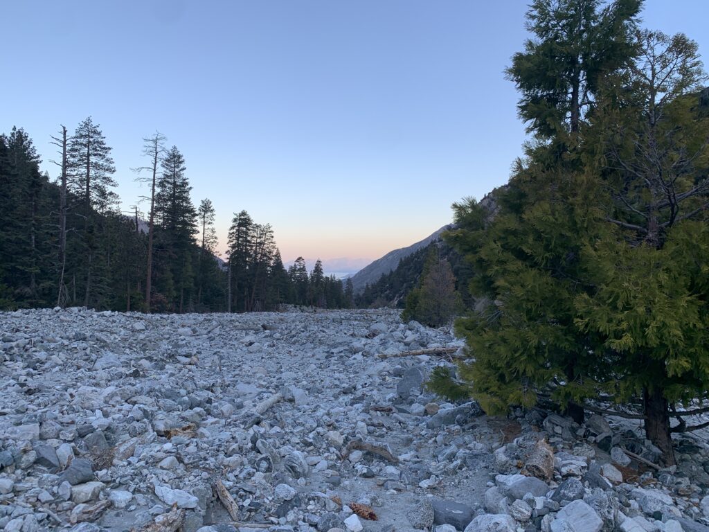
The trail begins on a single track trail that quickly widens to a rocky dirt road. Signage will then direct you to veer to the left and cross the wide dry stream bed to the base of the first climb. During this hike, there was a small stream that was very easy to cross right at the base of the first climb.
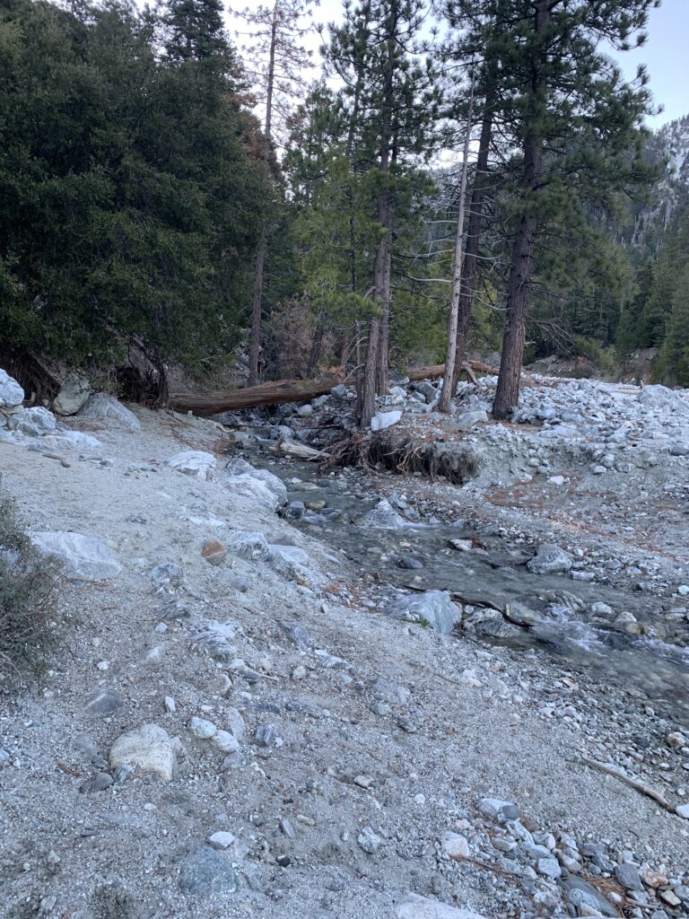
This hike does little to get you easily warmed up. The initial climb is about a mile and though pretty steep, offers beautiful views as you ascend. At around mile 1.4 the trail will flatten out and you will have access to Vivian Creek if you need to fill up on water.
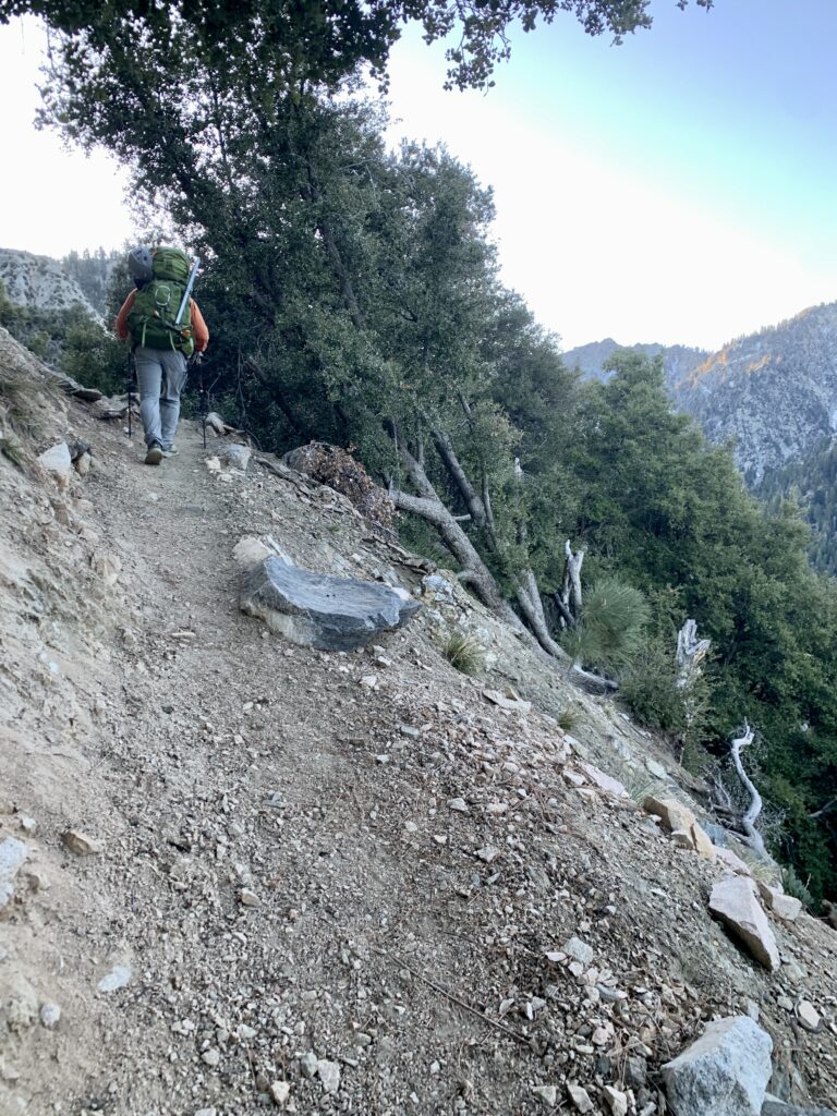
Once the trail more or less flattens out, you are immersed in spectacular forest with Vivian Creek babbling in your ear. Phil and I were graced with the presence of a lonesome doe. The trail then transitions from a steady to a moderate climb all the way until you reach High Creek Camp.
Beautiful Vivian Creek
A doe walking through the forest
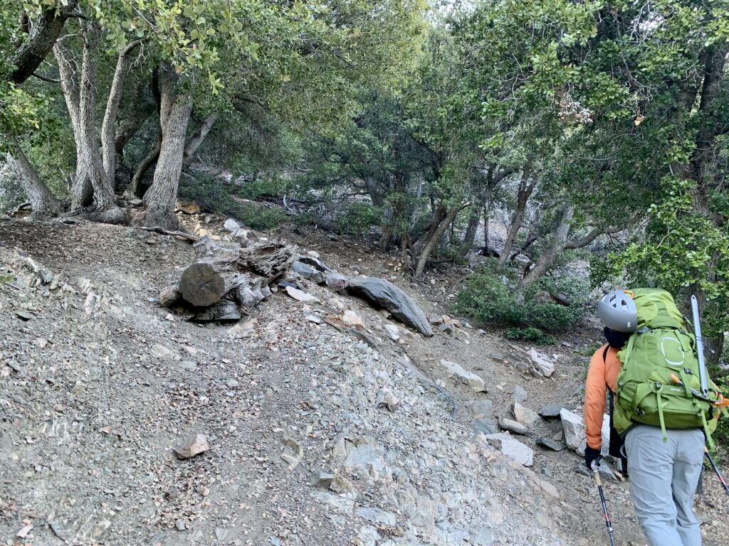
Around mile 3, we ran into a fallen tree in the middle of the trail that we had to climb over. Other than that, there were no other obstructions on the trail. We officially hit snow patches at mile 3.75, which were mostly on north facing slopes. We put on microspikes here, but it was short lived. The snow patches could have easily been trekked over with sturdy boots without traction.
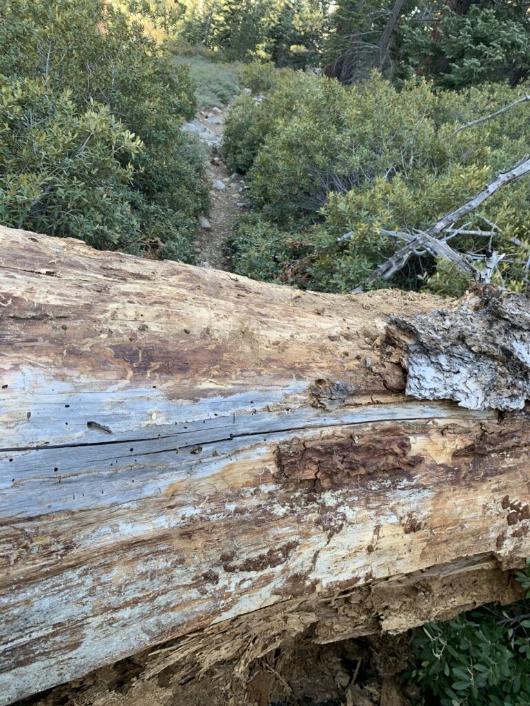
Fallen tree obstructing the trail at mile 3
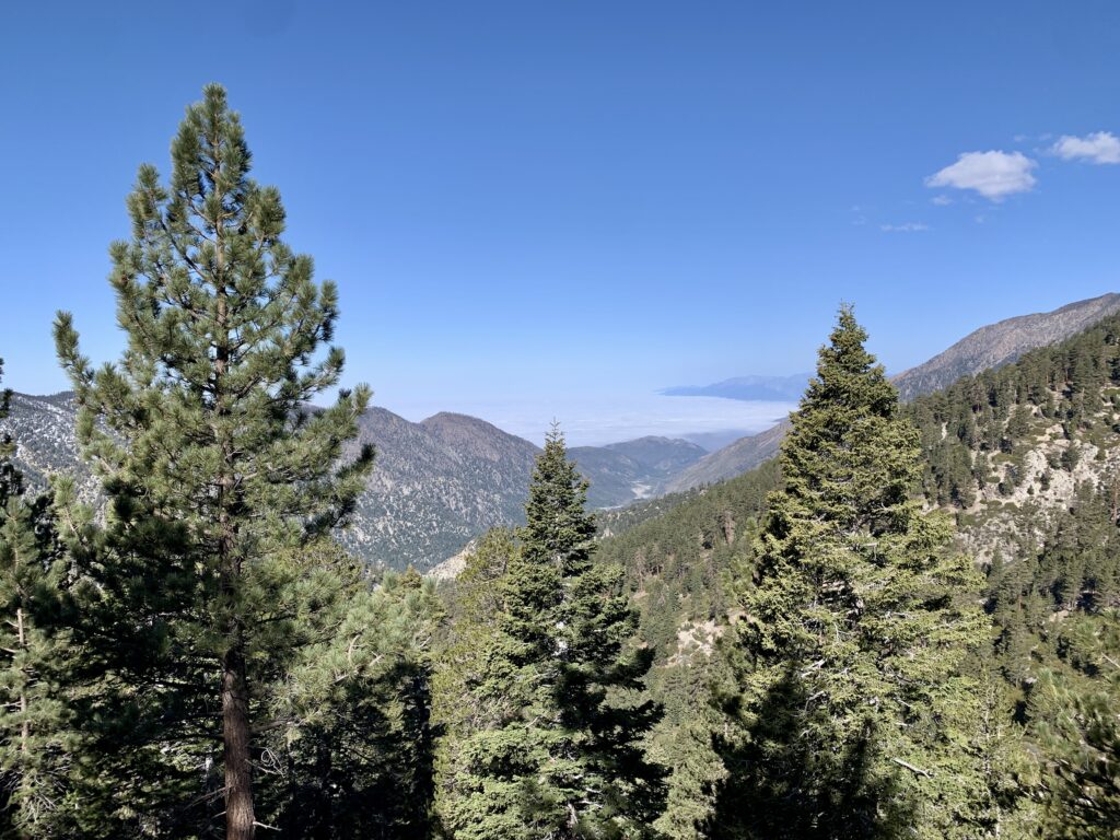
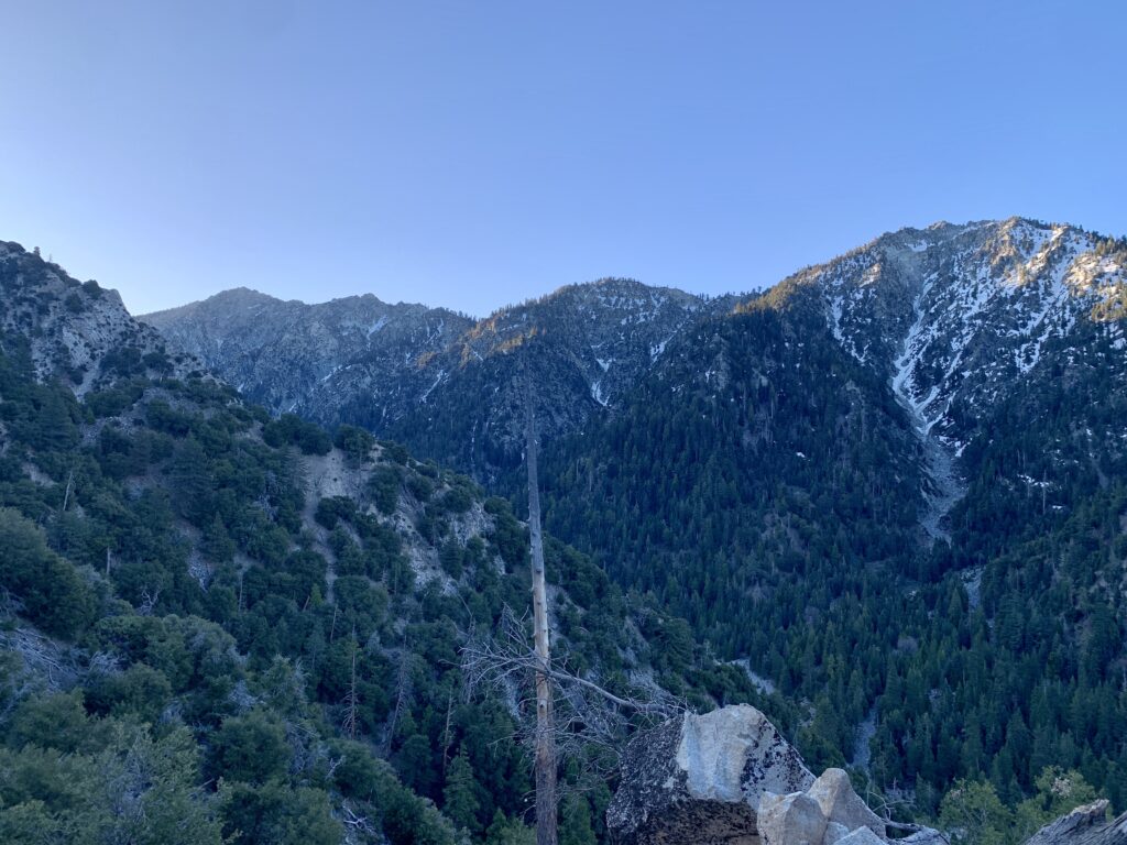
Stunning mountain views while on our way to High Creek Camp
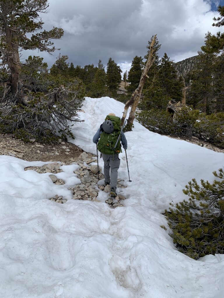
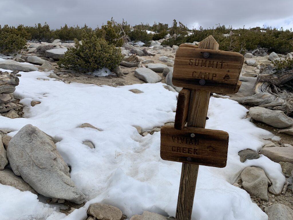
Once we hit High Creek Camp, the snow cover was in heavier patches. The trail could still be spotted in some areas, but following it would prove difficult. Across the switchbacks after High Creek Camp some snow patches formed steep slanted slopes with patches of ice here and there that I didn’t feel particularly comfortable walking on with microspikes. I had brought crampons, but the icy patches were so hit and miss, it wasn’t worth the time and effort to use them. We decided to just cut the switchbacks and go straight up joining the trail at the ridge.
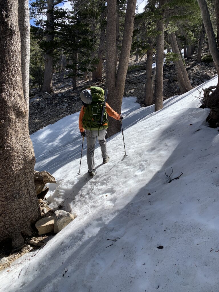
Patches of snow on the switchbacks after passing through High Creek Camp
Phil and I cutting the switchbacks and climbing directly to the ridge to meet the trail
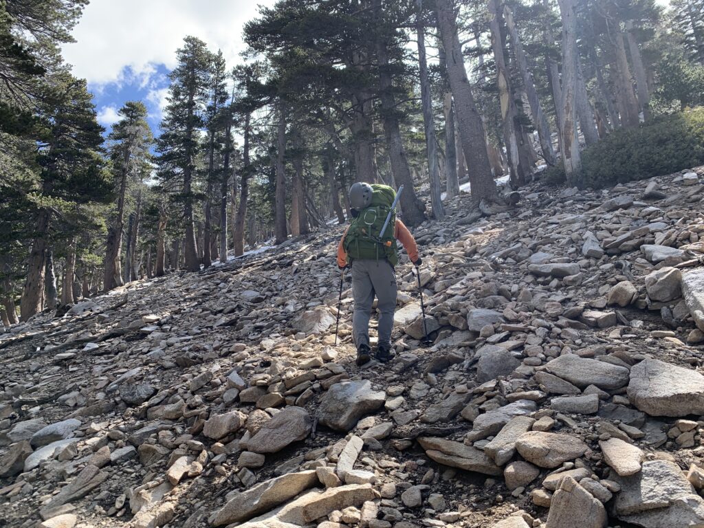
The remaining hike to the summit was very doable with only isolated patches of snow. With grippy boots and trekking poles, you could easily peak without traction. Just before reaching the summit, it began to lightly snow.
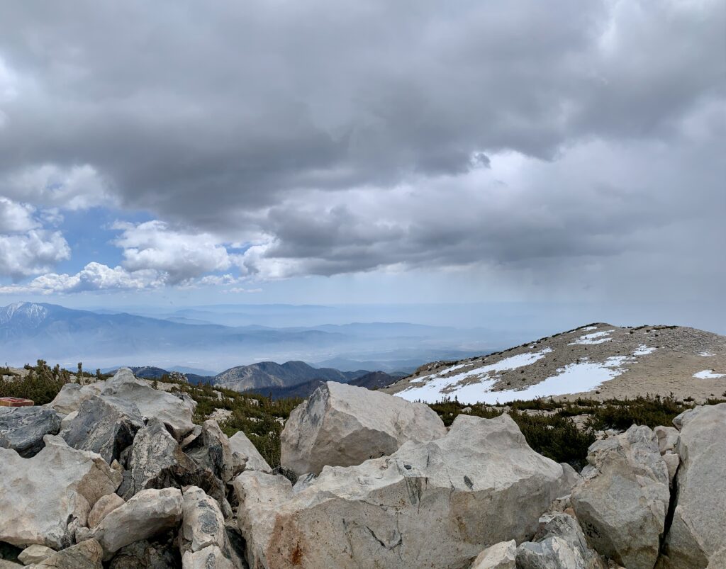
Trail conditions after the viewpoint at around mile 6.5 that continued all the way to the peak
Light snow falling just before our summit
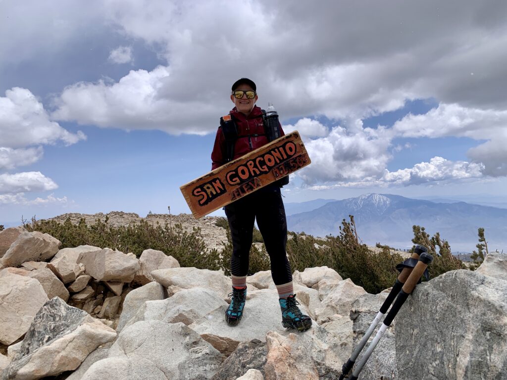
There was no snow at the summit. While we were snacking the weather seemed stable, but that quickly changed. The temperature dropped and it became freezing. The forecast had mentioned changing conditions in the afternoon so I wasn’t surprised. As we descended we hiked through much heavier snowfall followed by rain at the lower elevations.
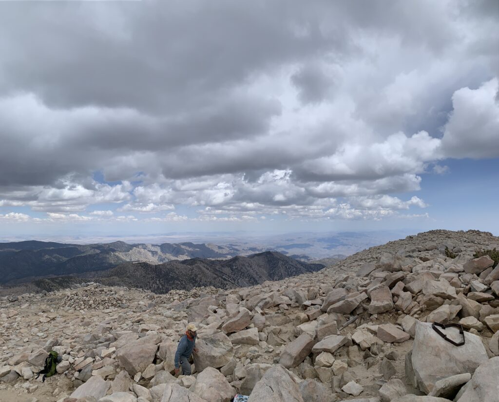
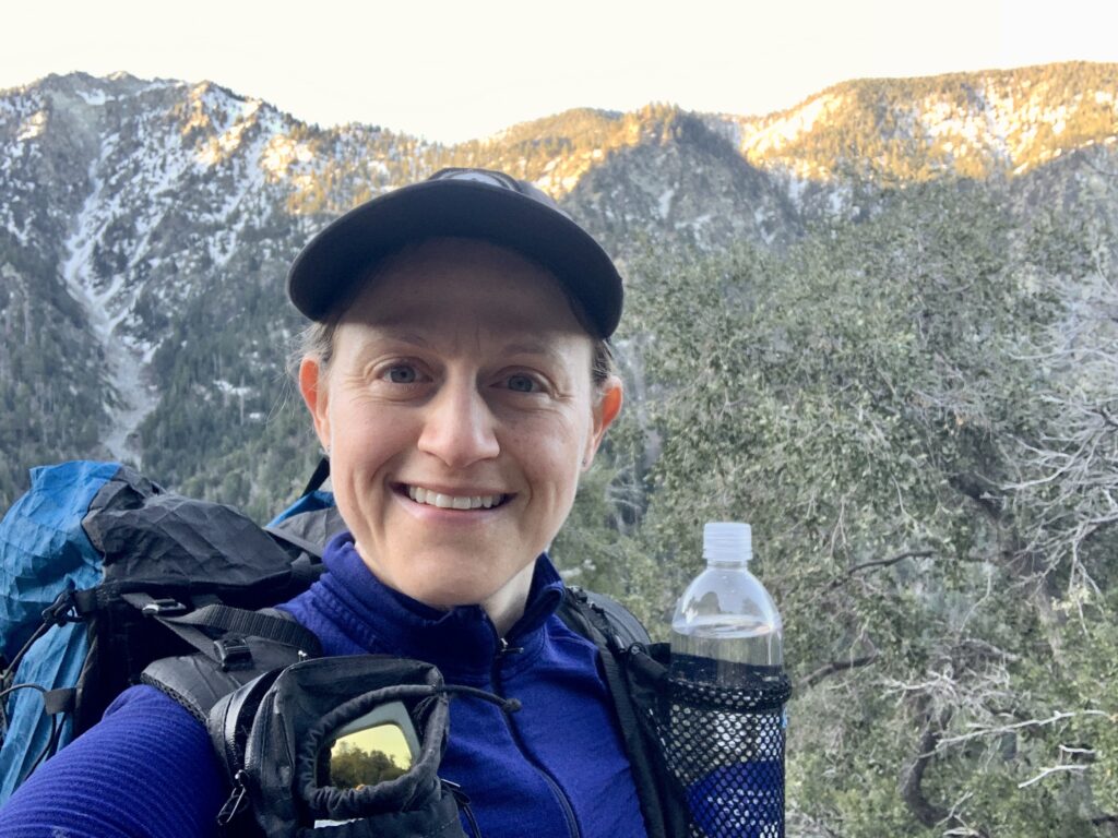
Views from the Peak
Increasing snowfall on our descent
Beautiful and comprehensive report on your hike!