
Route at a Glance
- Date: March 15th, 2025
- Location: Palm Springs Aerial Tramway in Palm Springs, CA | Mount San Jacinto State Wilderness
- Ticket Pricing
- Trailhead Parking: Palm Springs Aerial Tramway Station | 1 Tram Way Palm Springs, CA 92262
- Trailhead Amenities: None | All water, food, and restrooms are available at the Tramway Station
- Difficulty: Very Strenuous
- Route Type: Out and Back
- Distance: 6 miles round trip
- Elevation Gain: 2,356 feet
- Best Time to Hike: May through September
- Wilderness Permit Required: Yes
- Trail Signage: None | Off-Trail
- Dogs: Not allowed
At the desert floor beneath the San Jacinto Mountains in Palm Springs, CA lies the Palm Springs Aerial Tramway. The tramway provides visitors and locals the opportunity to venture from the desert floor to Mountain Station within the forest, which sits at 8,516 feet elevation. What you’ll find at Mountain Station are two restaurants, a cocktail lounge, observation decks, a small natural history museum, two theaters showing State Park and tram construction videos, a gift shop, and access to a multitude of hiking trails near the tram station and within the Mount San Jacinto State Park and Wilderness Area. There are also camping options within the Mount San Jacinto State Park and Wilderness Area and should be booked in advance. Needless to say, there is plenty to do depending on your comfort and experience level!
During the week the first tram up leaves at 10:00am and on weekends and holidays at 8:00am. For more details regarding the tramway hours of operations, visit here. Tickets can be purchased ahead of time online. If they are sold out online, don’t let that deter you! They only sell a fraction online and you can purchase a ticket when you arrive. You also have the option of purchasing an annual or summer pass, which if you plan on going frequently, is much more affordable and I think well worth it. Note that on weekends, the tramway gets EXTREMELY busy so if you are planning to catch the first tram up, arrive at the parking lot no later than 7:00am. I arrived at the parking lot at 6:15 am as I didn’t want to rush and got in line at 7:00am. They usually let you in around 7:30 am to purchase tickets and the first tram car is boarded around 7:45 am. You have the option to get your picture taken before boarding and you can purchase the photo at the top.
What to expect
- Views: 360 degree views of the surrounding San Jacinto Mountains and desert landscape, the Coachella Valley and Salton Sea, San Gorgonio peak to the northwest, and much more! On a clear day you may be able to see the ocean to the southwest
- Exposure: You are above 8,000 feet so expect stronger sun exposure and the possibility of high winds especially at the summit | Weather at this elevation can be variable so check accordingly prior to your trip
- Weather: Check the peak weather forecast here | Check the Mountain Station weather forecast here | View the Tram Cam and the Long Valley Cam for actual visuals!
- Parking: Get to the parking lot no later than 7:00 am if you want to get in line for the first tram up | Arriving earlier than 7:00 am is even better so you can take your time, check your gear, and get a good spot in line
- Crowds: The aerial tramway is busiest on weekends and with only 8:00 am tram car departures on weekends, that’s when most hikers will be there | The Sid Davis Route route only sees experienced hikers and alpinists so crowds will be lower than on established trails | You may run into large hiking/mountaineering groups, which can back up the initial climb
- Camping: Camping is available within 6 primitive campgrounds in Mount San Jacinto State Park and Wilderness Area | Camping permits are $5 per person | For information on how to acquire a permit click here | For information about the facilities at these sites and their distance from the Tram Station click here | Note that if you plan to camp outside the state park boundary and within the San Bernardino National Forest, there is a different process for camping permits. Contact the San Jacinto Ranger District at (909) 382-2921 for more information.
- Water Resources: Long Valley Creek is an intermittent stream, meaning it does not have constant flow year-round. It is best to satisfy all of your water needs at the Tram Station before heading out for your hike. It is usually frozen during the winter, flowing during spring and early summer, and dry in summer and fall. You can bring a filter with you just in case as a back up, but understand that creek flow is variable
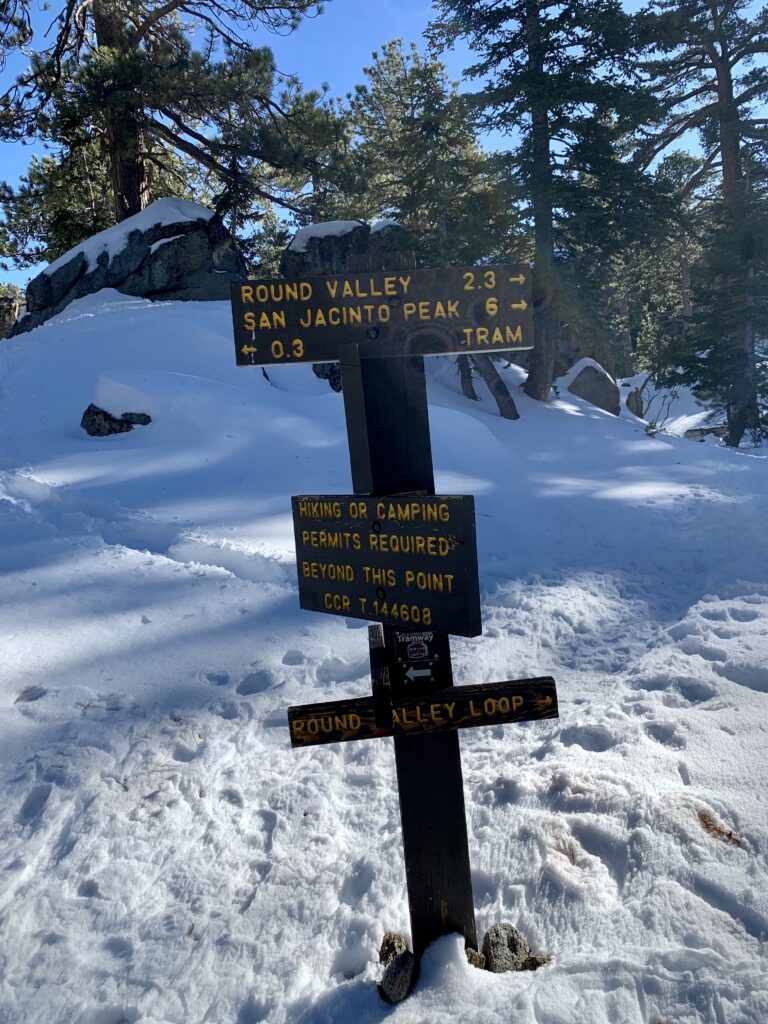
Once at Mountain Station, make sure to use the restroom, gather any food and water you may need because this is the last stop for it. You’ll head downstairs and outside and walk down a long concrete walkway. Once at the bottom you will see the Long Valley Ranger Station straight ahead in the distance. Continue to the ranger station to fill out your free wilderness permit and to speak to a ranger about current trail conditions or any questions you may have.
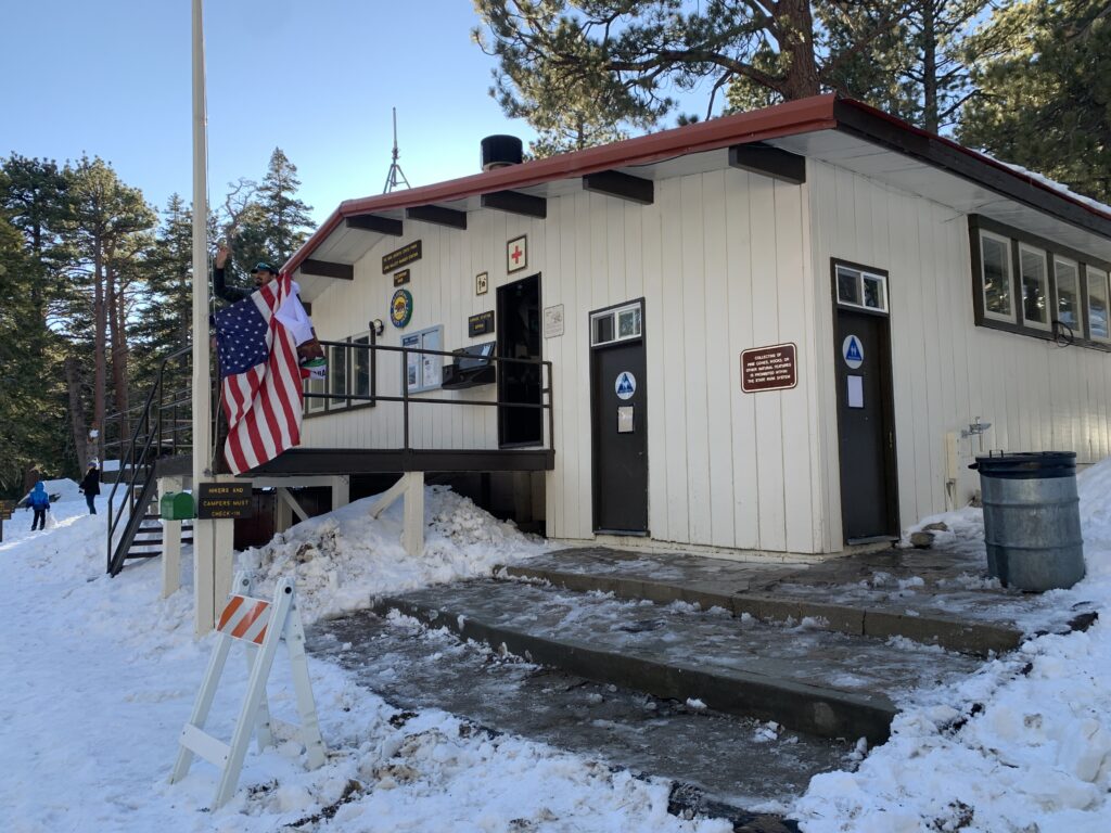
Mount San Jacinto State Park Ranger Station | Fill out wilderness permit here!
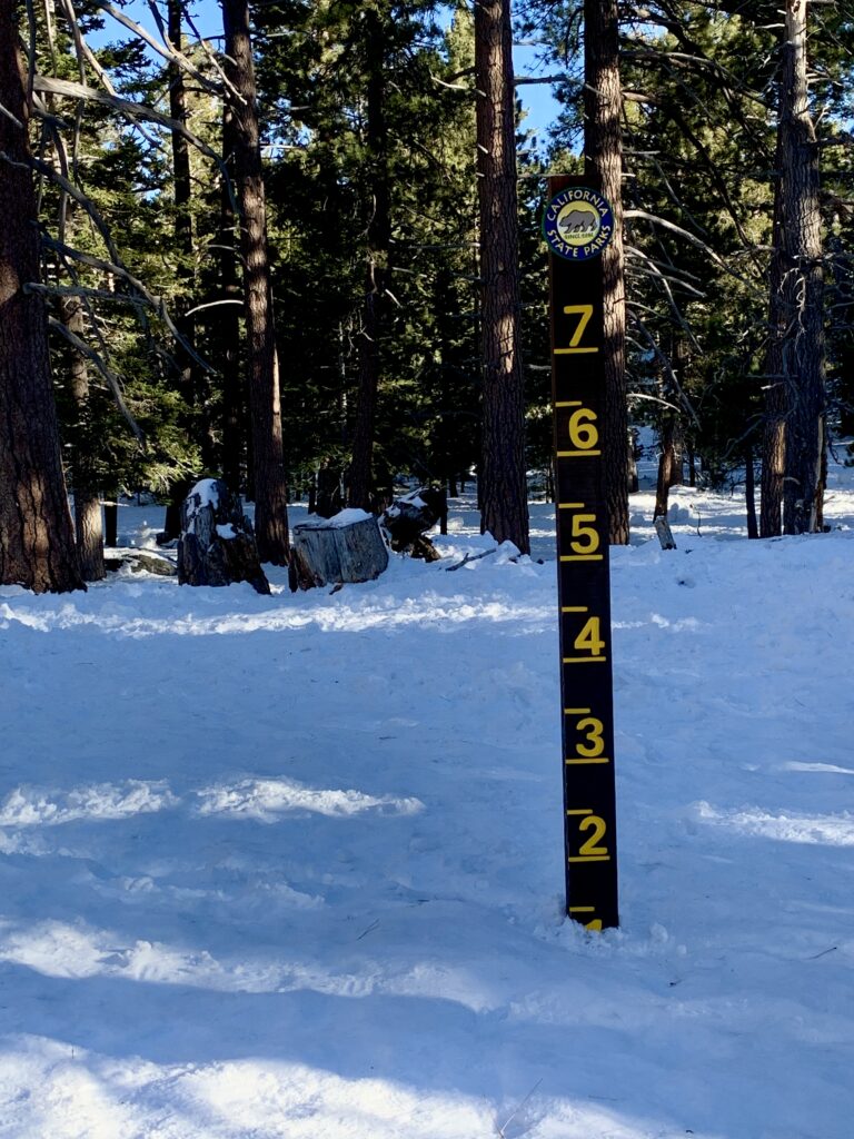
Snow Level Tracking Outside the Ranger Station
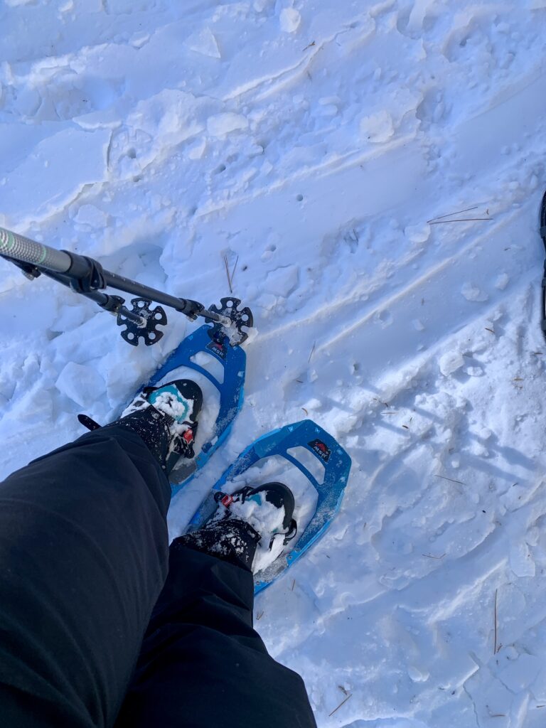
During the winter trail conditions are variable and weather changes rapidly so when hiking up here in the winter it is important to bring everything you MIGHT need including a helmet, snowshoes, ice axe, crampons, microspikes, and adequate winter clothing. Be prepared to stay the night out there in case of an emergency. In addition to the above, I took an extra pair of clothes, an emergency bivvy, a whistle, lighter, and a shelter. It is always better to be prepared than risk your life if the unexpected happens.
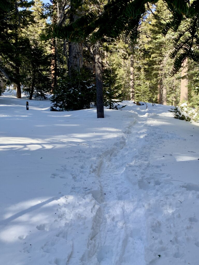
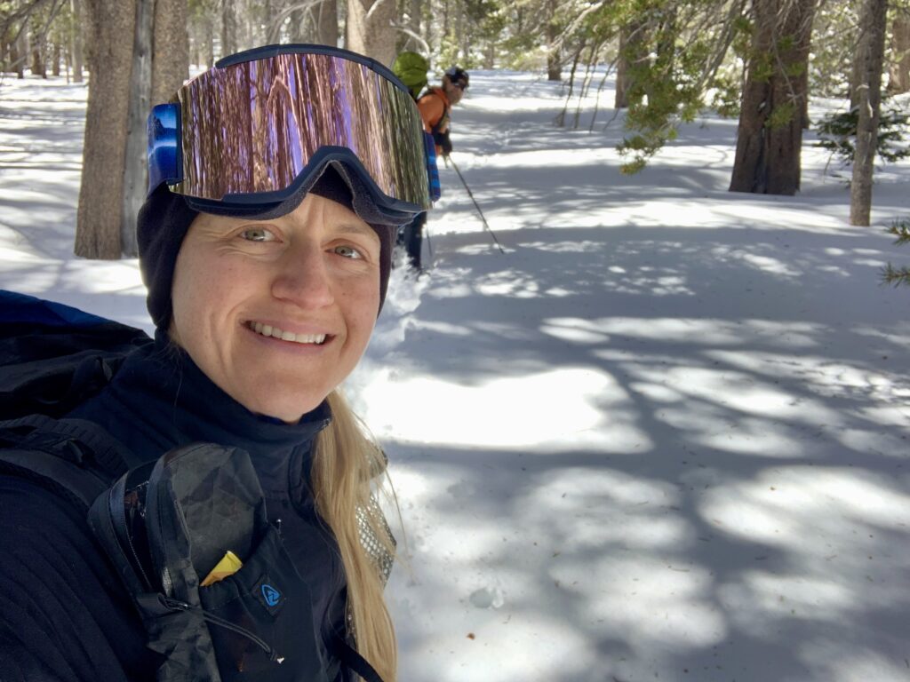
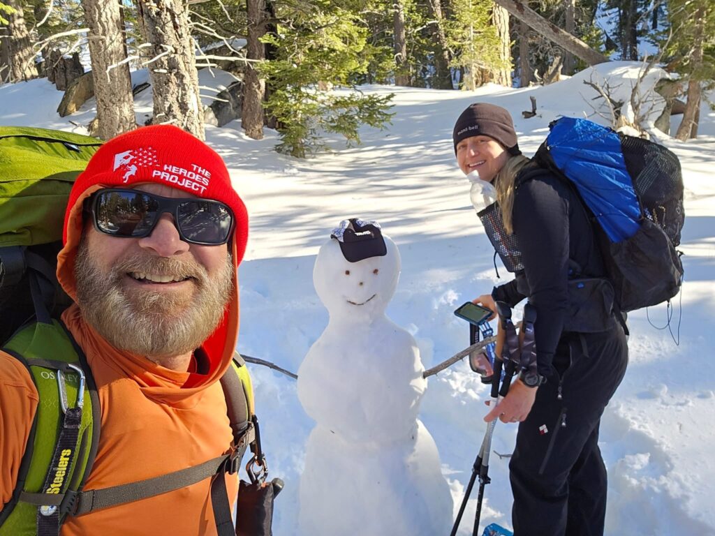
Near the bottom of the stairs at the ranger station, you see the trailhead where the hike begins. My pal Phil and I began hiking towards the Round Valley Loop. Within a 100 feet from the ranger station, we had to put snowshoes on otherwise we were postholing in our microspikes.
Round Valley Loop Trailhead at the Long Valley Ranger Station
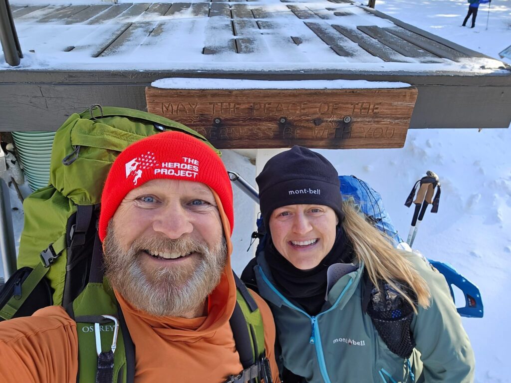
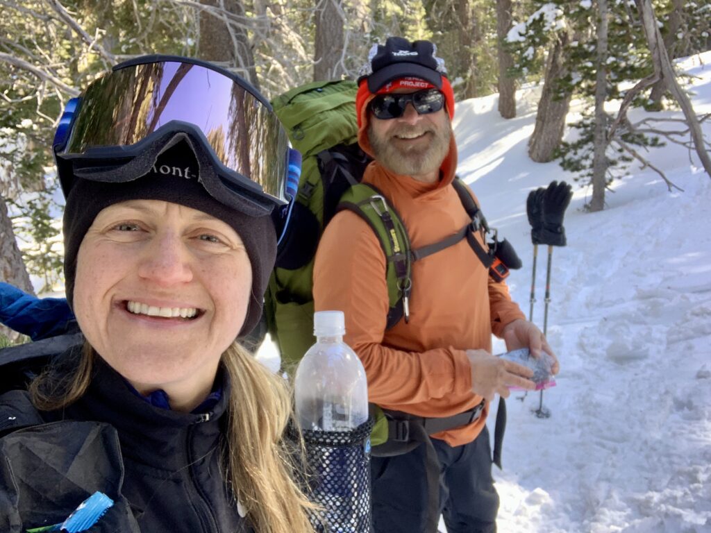
Phil and I at the Long Valley Ranger Station Before Beginning our Trek
As the trail progresses you will come upon the first junction. Follow signs for Round Valley Loop. The trail stays on the north side of Long Valley Creek until the second junction where you can cross the creek to hike the Round Valley Loop. If you have crossed the creek, you have past the turnoff for the Sid Davis Route. The junction before crossing Long Valley Creek is signed and distinct. Note the sign only is for the Round Valley Loop. There is no signage designating the Sid Davis Route. You will notice a big boulder behind the trail junction sign.
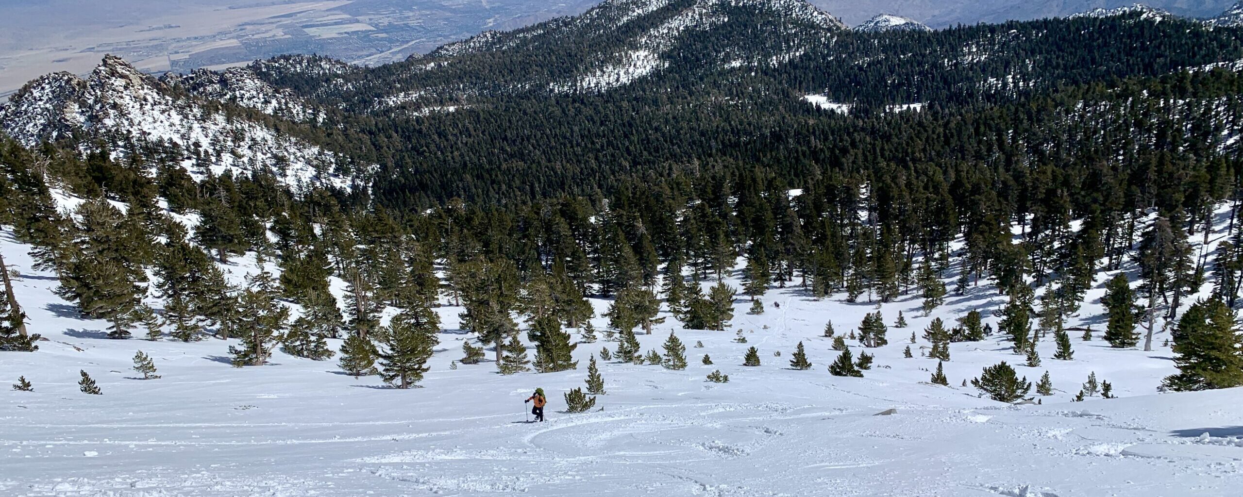
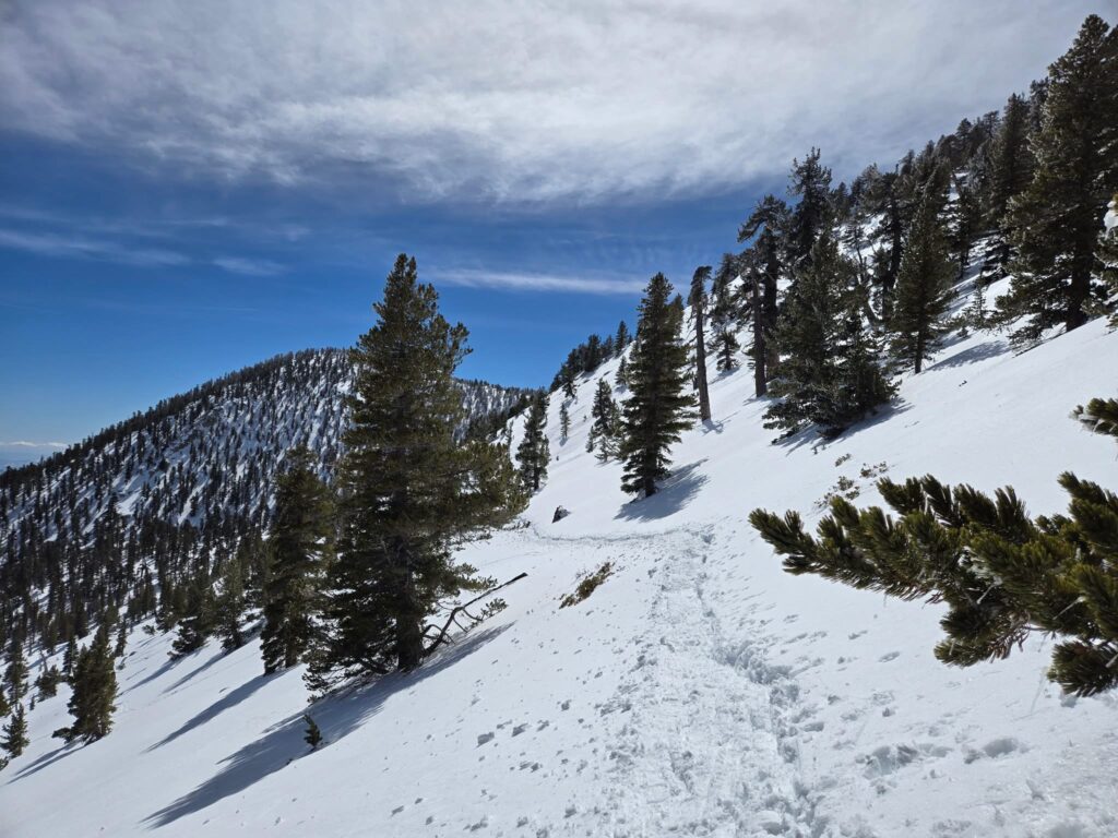
Begin by hiking to the right of the boulder and proceed hiking up. You essentially follow the draw, make your way through Tamarak Valley to Tamarak Valley Campground and then climb up to the established Peak Trail. The initial climb is steep. You get a breather going through Tamarak Campground, but then your climb gets even steeper as you ascend to the Peak Trail. Navigation resources are imperative as this is a ROUTE, not a trail. You are very much off-trail and on your own and in winter conditions it is very easy to get lost. Feel free to download my gpx file below!
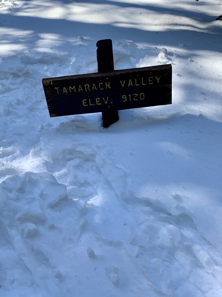
Snow level in Tamarak Valley on March 15th, 2025
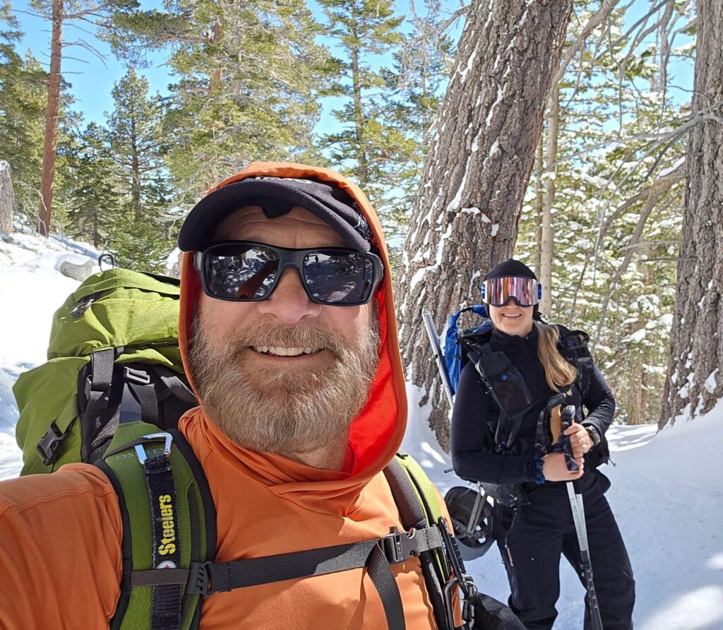
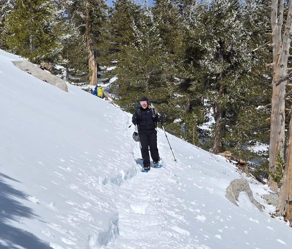
Phil and I on the Sid Davis Route Surrounded by Untouched Snow
Phil and I began hiking behind an alpine group whom we helped with breaking in the trail. This was very slow going. I am 5’3″ and a couple times my snowshoes fell off and I found myself post-holing up to my knee and around the summit, my thigh. Although some areas may have been suitable for crampons, snowshoes were a must for the majority of the route. The climb up to the Peak Trail was very steep and exposed, and with the deep snow took a significant amount of time.
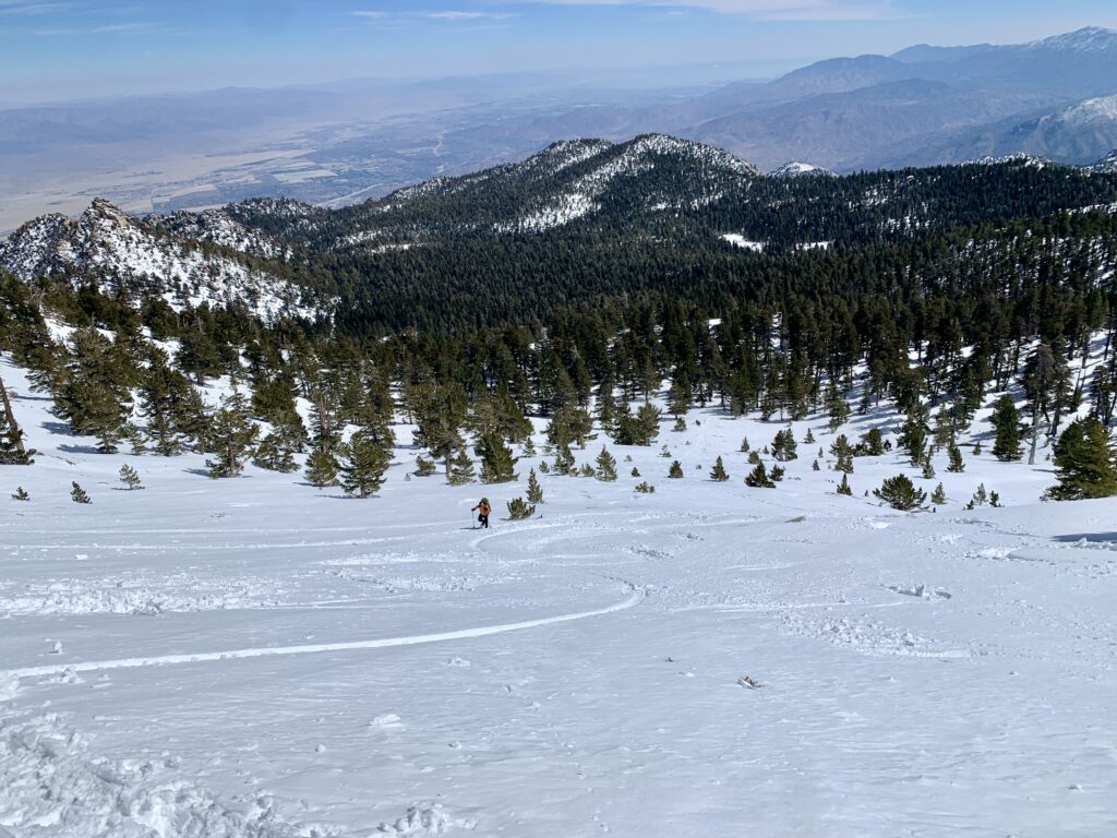
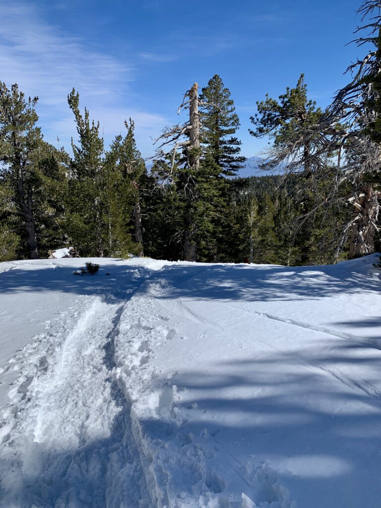
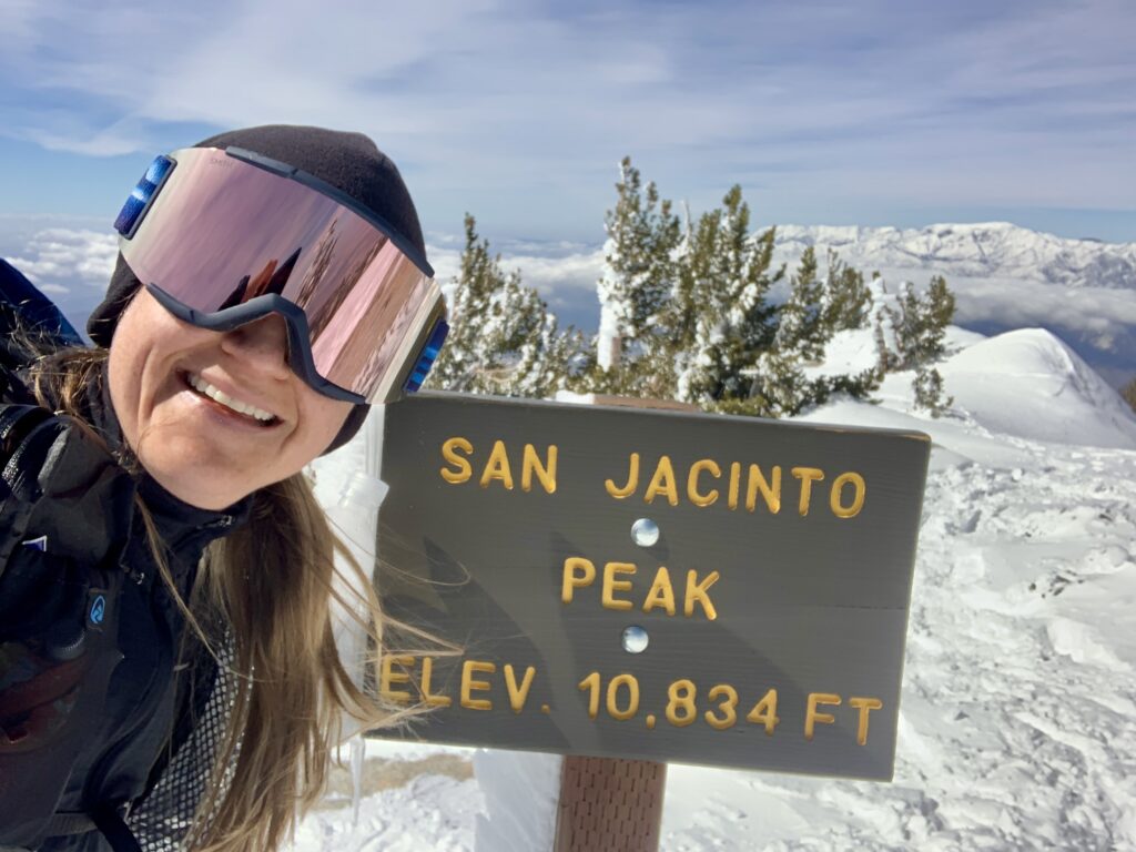
Once we reached the Peak Trail, we made our way to Miller Saddle. We opted to summit San Jacinto Peak from the backside approaching it from the Northeast and so diverted from he standard Peak Trail. We proceeded straight past Miller Saddle and began the final 0.5 mile/~400 foot climb to the summit. Phil opted to stay behind, so I hiked the last 1/4 mile to the summit. There was no one at the summit but the howling winds and wind drifts covering up my tracks on the trail. The views were magnificent!
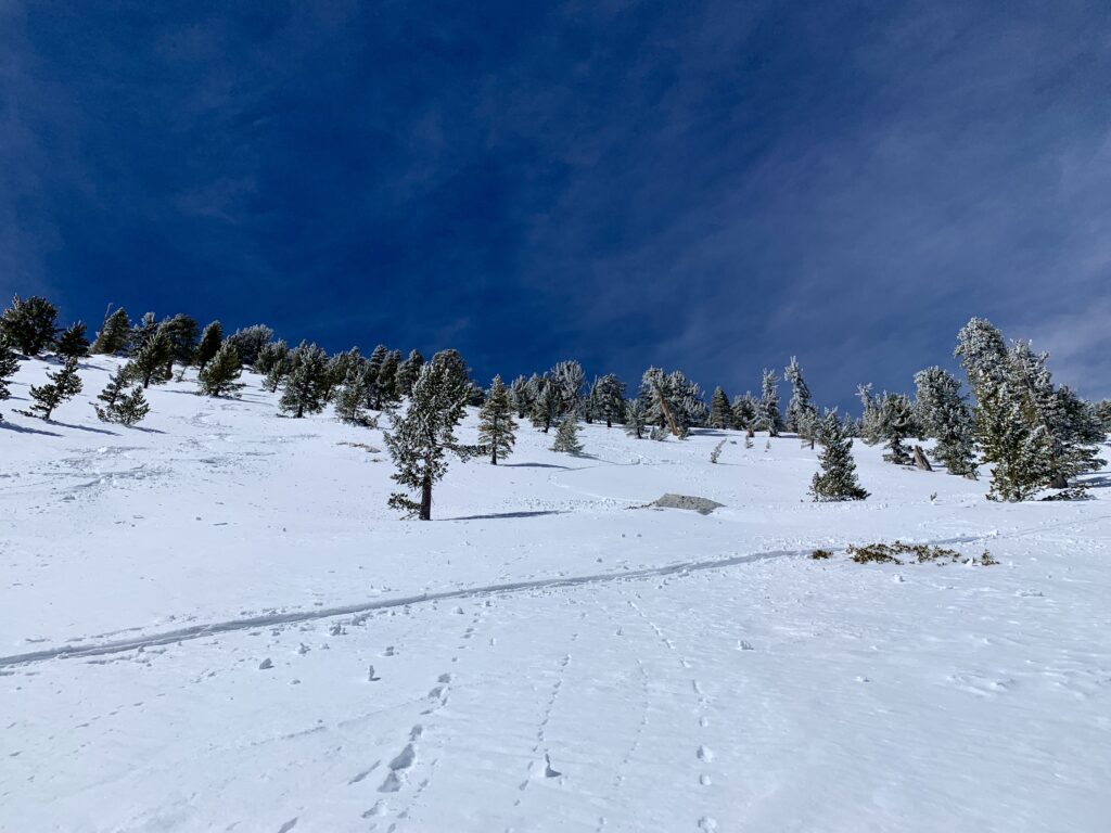
Views from the Peak Trail Before Miller Saddle
Views From San Jacinto Peak
More Incredible Views from San Jacinto Peak
After summiting, I met back up with Phil on the Peak Trail and we hiked down the same way we came up. This is a tough hike on its own, but in the snow it was definitely a challenge. This route offers a lot of alternatives as you are able to summit additional peaks along the way to San Jacinto Peak, such as Miller and Cornell Peak. It will definitely be a good one to revisit in the summer.
One Final Note!
Don’t forget to turn in your permit in the box near the stairs back at the Long Valley Ranger Station. This lets the rangers know you got back safely. Also, getting back down to the desert floor once you are back at Mountain Station can take forever so factor that into your plans and try to keep track of your ticket as they may ask for it!
Great report!