
Route at a Glance
- Date: February 22nd, 2025
- Dogs: Leashed
- Trailhead Parking: Icehouse Canyon Trailhead | 34.25024, -117.63671
- Trailhead Amenities: Restroom
- Route Type: Out and Back
- Difficulty: Strenuous
- Distance: 12.4 miles round trip
- Elevation Gain: 3,996 feet
- Best Time to Hike: June – October
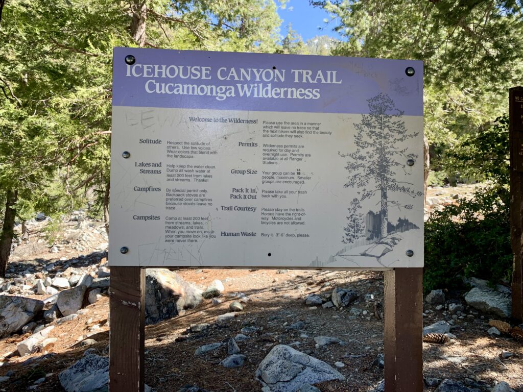
- Wilderness Permit Required: Yes, self-issue at trailhead | group size limited to 12 people
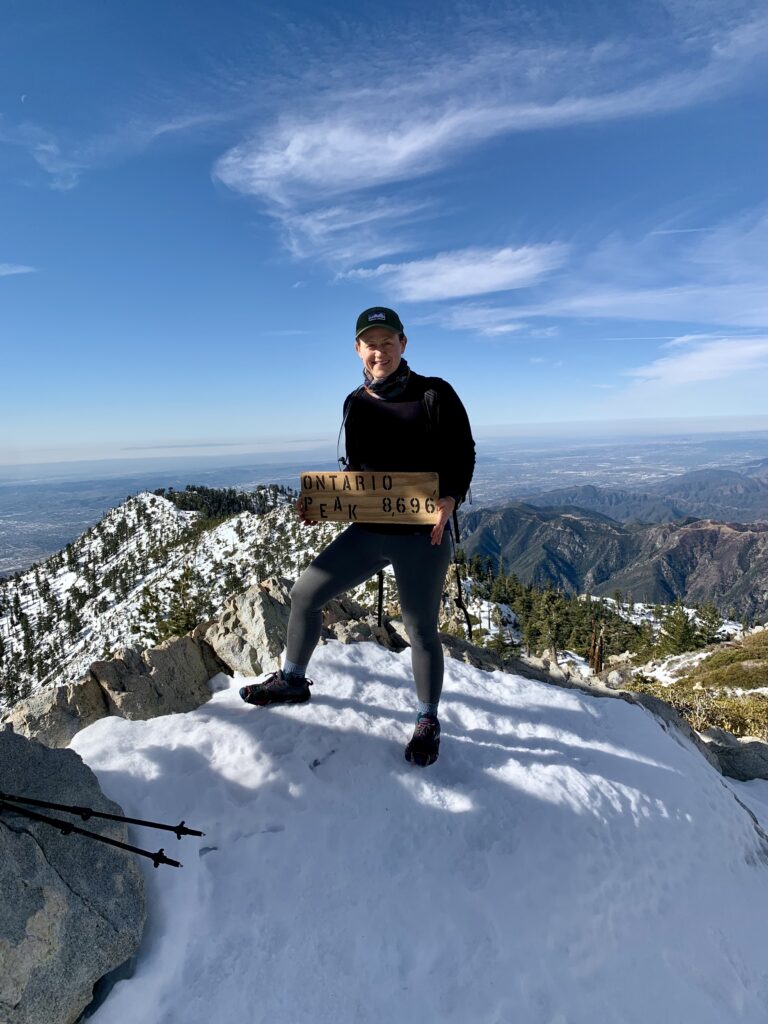
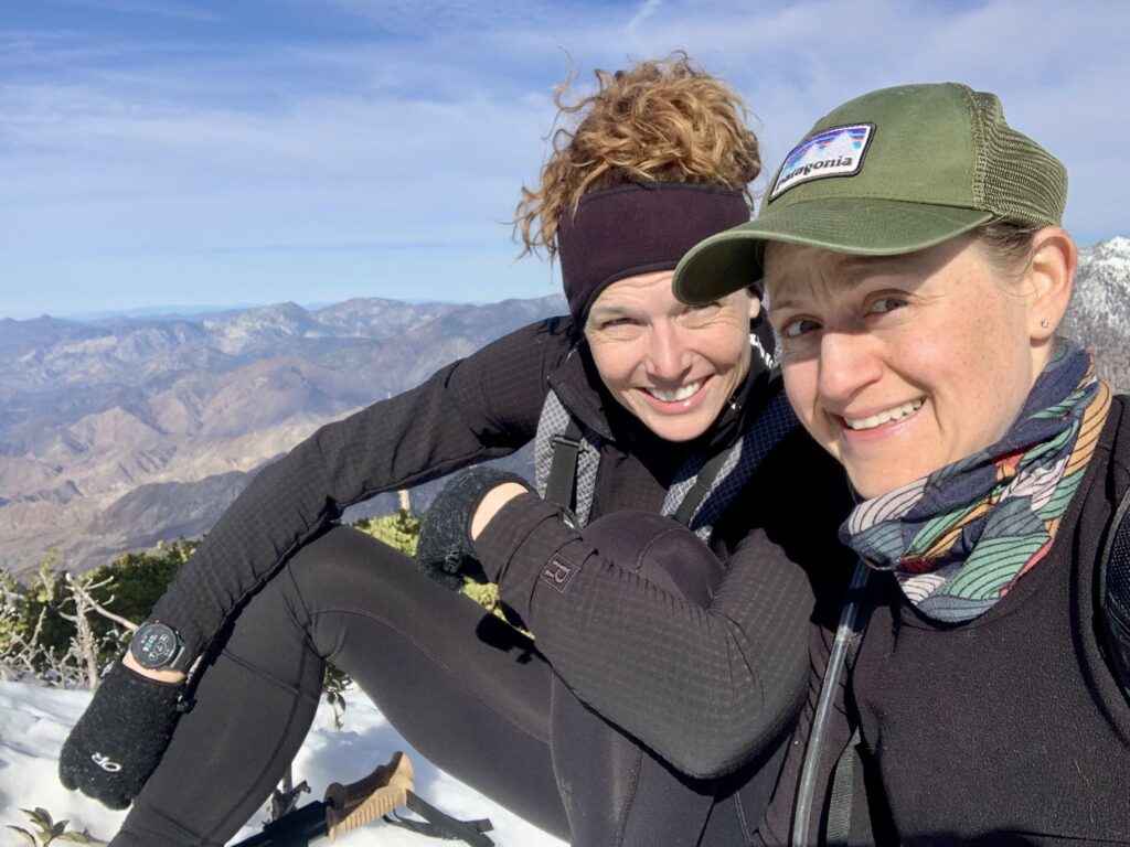
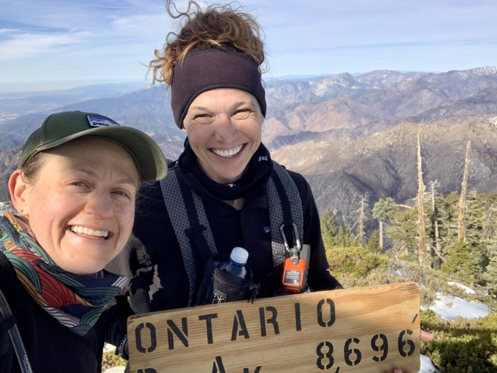
The hike to Ontario Peak (8,696 ft.) within the Angeles National Forest is a great training hike for the avid hiker or for new hikers looking to build their confidence and endurance on the trail. This is one of the first peaks I hiked when I got started and since then have incorporated peaks with challenging climbs and high elevation year-round as part of my training regiment to prep for harder and longer trips. This weekend was my birthday weekend so obviously Debbie and I had to go hike and we knew this would be a fun one.
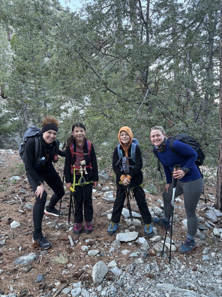
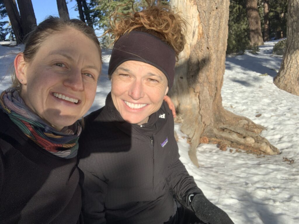
Debbie and I ran into the famous Super Hiking Twins!
This trail does not contain as technical of an ascent as Cucamonga Peak, which always requires mountaineering gear during the winter and has seen many rescues and fatalities. For Ontario Peak, once you pass Saddle Junction you will be trekking across steep inclines with snow and ice on the ground, so traction will be necessary. Though I did this hike with only microspikes and trekking poles this time, if I did it again, I would have used crampons and also brought my ice axe for that “just in case” moment. I wouldn’t recommend going past Saddle Junction without traction (microspikes and/or crampons), an ice axe, a partner, and some experience. It’s imperative that you check trail and weather conditions prior to your trip and you know how to use your equipment. Better safe than sorry!
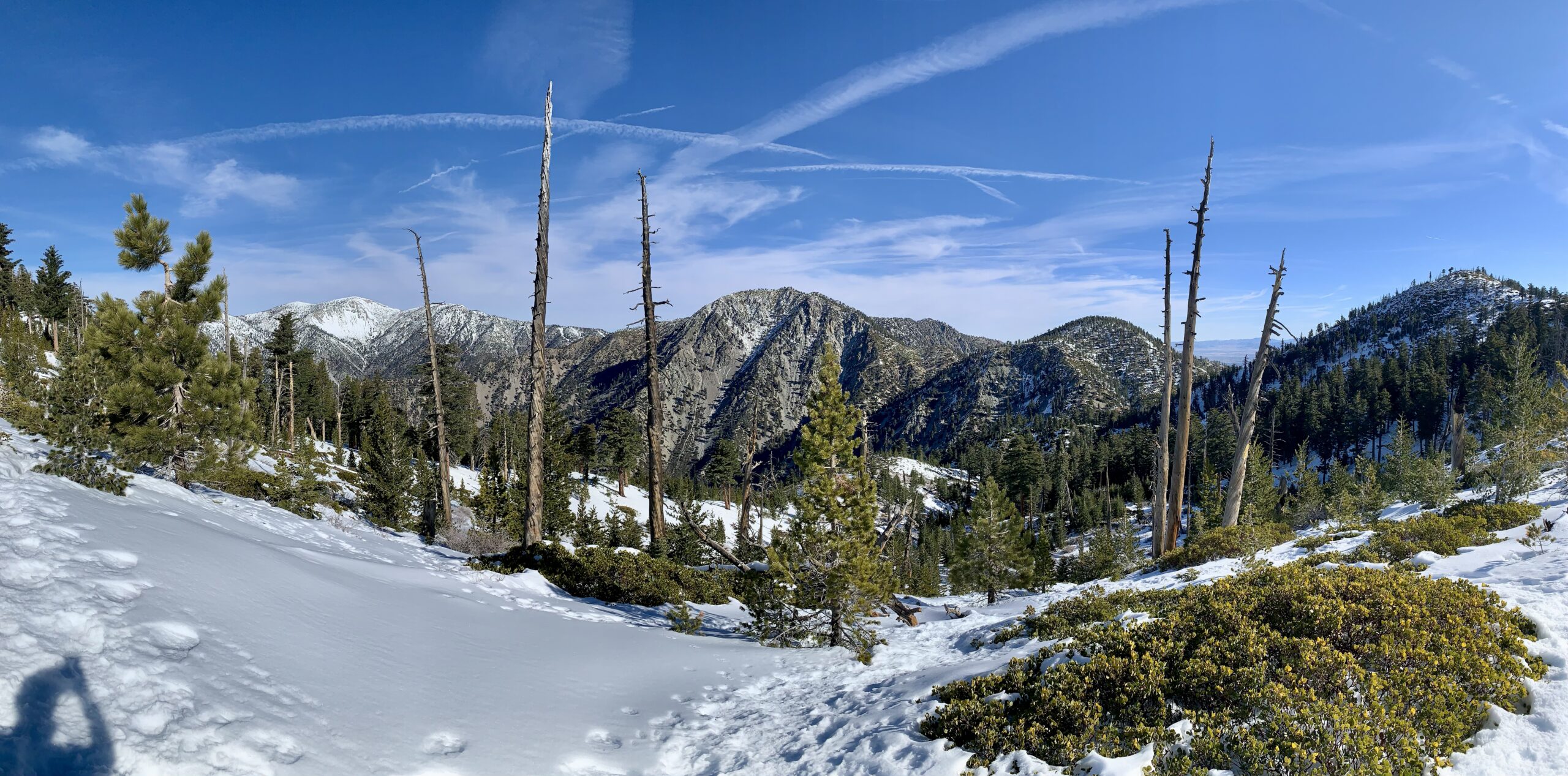
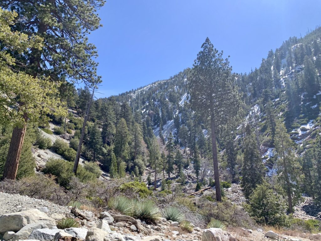
The trail begins with a steady climb through Icehouse Canyon with a beautiful creek running alongside the trail. You then climb out of the canyon and arrive at Saddle Junction (at around mile 3.5) where you will see fellow hikers stop for a rest, hand out, and have a snack before continuing on. This junction services multiple peaks including Cucamonga and Etiwanda Peaks, as well as the Three T’s (Timber Mountain, Telagraph Peak, and Thunder Mountain). There is clear signage at the saddle, but be sure to have adequate navigation. From Saddle Junction you’ll have a steady 1-mile climb to Kelly Camp, followed by a short climb up to the ridge line, which you then will follow until the final push to the summit.
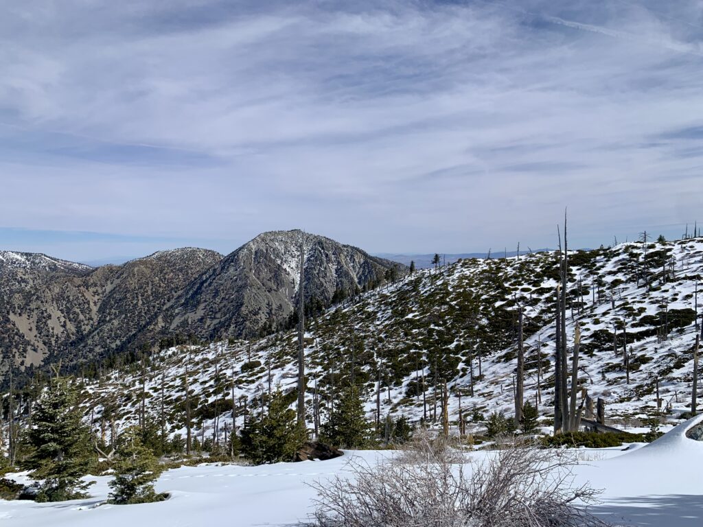
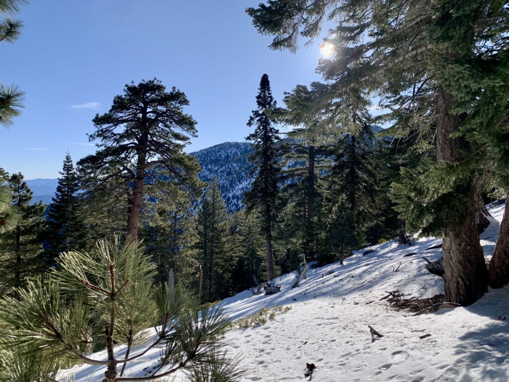
The climb up Icehouse Saddle offers spectacular views as you hike towards Saddle Junction.
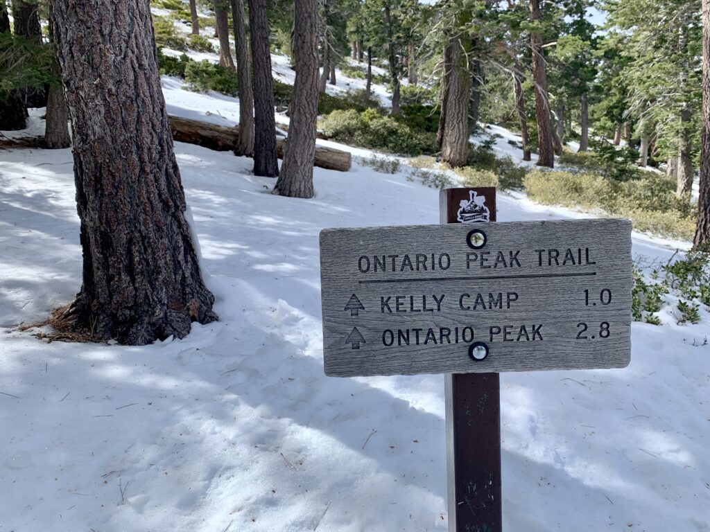
Clear signage at Saddle Junction leads the way to Ontario Peak.
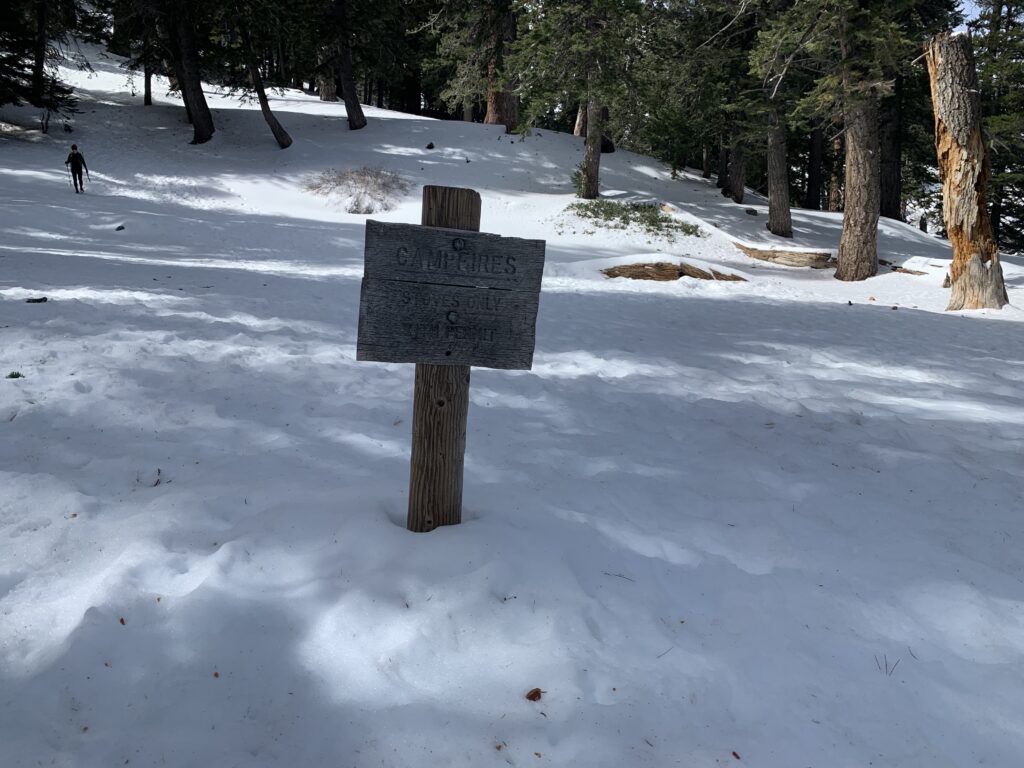
Kelly Camp completed covered in snow. Make sure to have adequate navigation!
What to expect
- Views: Spectacular panoramic views of the San Gabriel Mountains including Mount Baldy, the highest peak in the range
- Weather: Check the peak forecast here
- Parking:
- America the Beautiful Pass
- Adventure Pass (Southern California Only): $5 day pass, $30 annual pass
- Can purchase at sporting goods store like REI, Big 5, or Sports Chalet. I would recommend calling the store prior to ensure they have it before making the drive.
- Can purchase at the Mt. Baldy Visitor Center, which is about 1.5 miles away in Mt. Baldy Village. You have to pass it on your way to the trailhead. Note: they are only open on weekends though so plan accordingly.
- Crowds: This trail on weekends is insanely busy so get to the trailhead early (like before 6am) and don’t set any personal speed records because you will be navigating through crowds on the trail
- Camping: You’ll pass Kelly Camp 1 mile passed Saddle Junction, which is a great spot for camping if you are new to backpacking or want to spread out your summits of multiple peaks. Water here is unreliable. If you walk across the camp westerly away from the trail, you will see a grassy area where a faint use trail leads to a pipe that may or may not provide water. Do your research before relying on it. Also, California Campfire permits are required.
- Water Resources: At around mile 2.5 you’ll reach Columbine Spring, which is just off the Ice House Canyon trail on the right, about 3/4 of the way up to Saddle Junction. This is your last reliable water source.
For a full list of what gear I personally use and recommend click here.

Great trip report! I much prefer blog to social media, personally.
How was the parking situation with the snow? Planning on going this weekend.
Parking is nuts on a Saturday and this is one of the few big snows of the season so expect the parking lot to be very packed. I would get there at 5:30am at the LATEST. If it was me I would get there at 5am to secure parking and get an early start on the trail as the snow is gonna slow you down. This will also help you avoid the rush of people starting their climb. When I did this hike in February, we got to the parking lot at 6am and we got the last spot.